8,548 rutas en Alpes du Nord. Encuentra tu próximo recorrido en Isomaps — mapas topo, GPS y perfil de altitud.
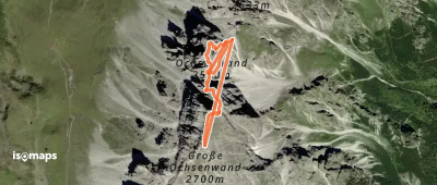
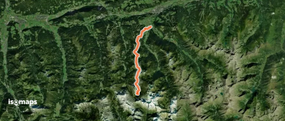
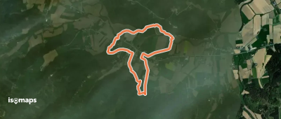
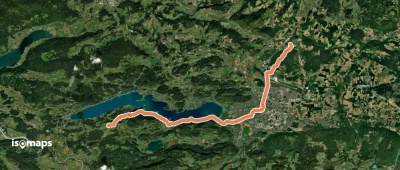
Rauchkopf, Autriche
31,45 km +1 170 m 15h 50min
Muy difícil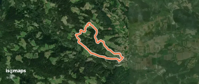
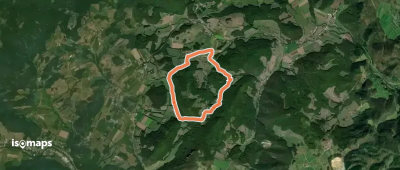
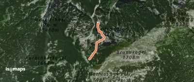
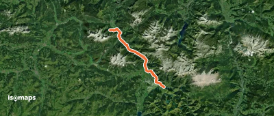
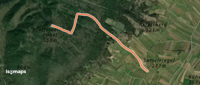
Hochleckenkogel, Autriche
646 m +262 m 30min
Muy fácil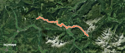
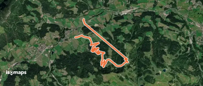
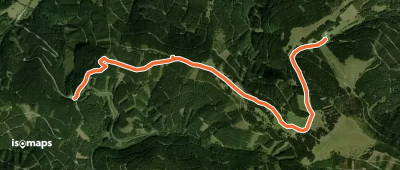
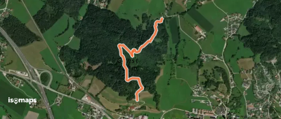
Schiefling am See, Autriche
28,03 km +659 m 6h 50min
Difícil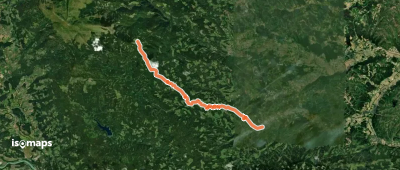


Prueba Iso Maps gratis 7 días. Disponible en iOS y Android.
