24 rutas en Región del Maule. Encuentra tu próximo recorrido en Isomaps — mapas topo, GPS y perfil de altitud.


Lagunas del Planchón Dam, Chili
52,45 km +2 226 m 16h 50min
Muy difícil

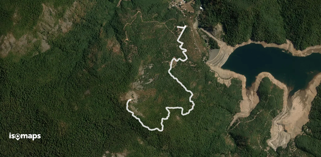
Cerro El Alto, Chili
39,74 km +3 228 m 14h 15min
Muy difícil


Cerro El Alto, Chili
52,22 km +3 060 m 16h 10min
Muy difícil


Prueba Iso Maps gratis 7 días. Disponible en iOS y Android.
