จังหวัดนครนายก

3 rutas en จังหวัดนครนายก. Encuentra tu próximo recorrido en Isomaps — mapas topo, GPS y perfil de altitud.
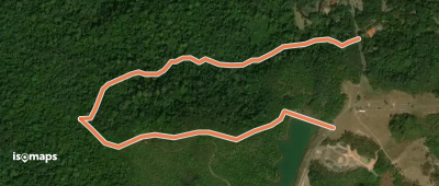
ดงติ้ว - อ่างเก็บน้ำสายศร

Khao Yai National Park, ประเทศไทย

2,52 km +124 m 40min

Muy fácil
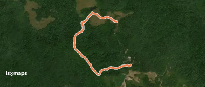
ดงติ้ว - หนองผักชี
ดงติ้ว - หนองผักชี

Khao Yai National Park, ประเทศไทย

5,36 km +206 m 1h 20min

Muy fácil

¿Listo para tu próxima salida?

Prueba Isomaps gratis 7 días. Disponible en iOS y Android.

Descargar en iOS Descargar en Android APK (sin Google)
Isomaps Tus salidas outdoor, en cualquier lugar, incluso sin red
Instalar Instalar

