Vercors

59 rutas en Vercors. Encuentra tu próximo recorrido en Isomaps — mapas topo, GPS y perfil de altitud.

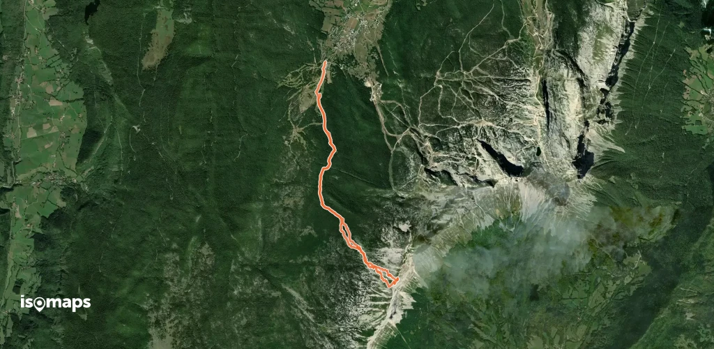
Rocheherbe, Couloir Méridional

Gresse-en-Vercors, France

3,96 km +960 m 2h 15min

Muy difícil
Gerbier, Couloir Est

Le Gua, France

3,02 km +629 m 1h 25min

Muy difícil
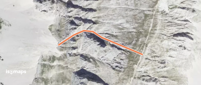
Grand Veymont - Couloir W

Grand Veymont, France

312 m +287 m 5min

Muy difícil
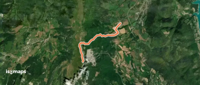
Rocher du Baconnet, Versant est

Monestier-de-Clermont, France

4,14 km +0 m 35min

Moderado
Rochers de la Balme - Versant W

Tête des Chaudières, France

11,13 km +885 m 3h 5min

Fácil
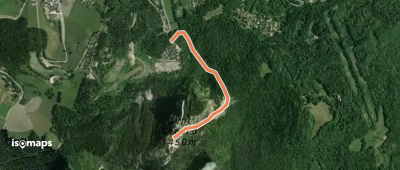
Trois Pucelles - Couloir NE

Saint-Nizier-du-Moucherotte, France

1,11 km +340 m 15min

Moderado
Le Moucherotte - Versant W (voie normale)

Le Moucherotte, France

8,31 km +779 m 2h 30min

Muy fácil
La Peyrouse - Couloir E

, France

7,54 km +920 m 3h 10min

Difícil
Pic Saint Michel, Versant Est

Saint-Paul-de-Varces, France

6,75 km +1 067 m 2h 45min

Fácil
Le Moucherotte, par le plateau des ramées

Montagnes de Lans, France

4,80 km +574 m 1h 45min

Muy fácil
Le Platary - En boucle depuis le Col du Prayet

, France

4,80 km +400 m 1h 25min

Fácil
Plateau du Cornafion - Combe Chaulange

Rochers de l'Ours, France

2,91 km +24 m 15min

Fácil
Crête de le Ferrière, Boucle départ col de l'Arzelier

Col de l'Arzelier, France

1,24 km +359 m 35min

Fácil

¿Listo para tu próxima salida?

Prueba Isomaps gratis 7 días. Disponible en iOS y Android.

Descargar en iOS Descargar en Android APK (sin Google)
Isomaps Tus salidas outdoor, en cualquier lugar, incluso sin red
Instalar Instalar