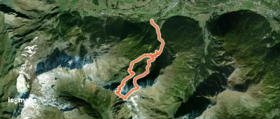
5 rutas en Valais W - Alpes Pennines W. Encuentra tu próximo recorrido en Isomaps — mapas topo, GPS y perfil de altitud.
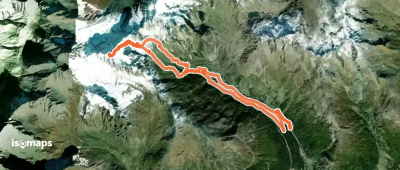
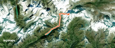
Châtillon, Italy
17,96 km +2 558 m 7h 10min
DifícilPrueba Isomaps gratis 7 días. Disponible en iOS y Android.
