Valais W - Alpes Pennines W

180 rutas en Valais W - Alpes Pennines W. Encuentra tu próximo recorrido en Isomaps — mapas topo, GPS y perfil de altitud.
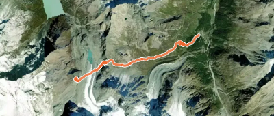
Mont Fourchon, combe Est depuis Bourg St -Bernard

Tunel Gd. St. Bernard, Switzerland

18,20 km +1 285 m 4h 20min

Fácil
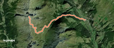
Aiguille des Sasses - Voie Normale - Versant SE

, Suisse

12,62 km +1 235 m 3h 45min

Fácil
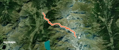
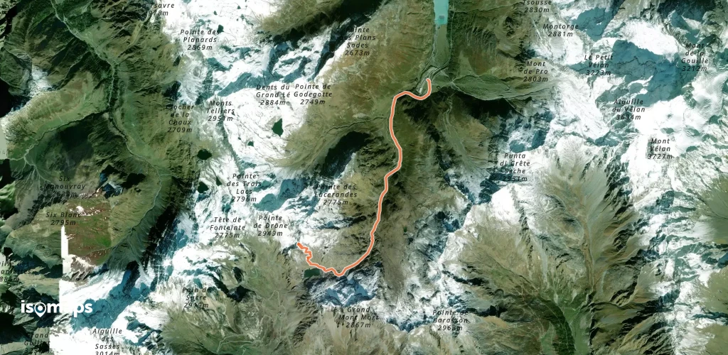
Monts Telliers - Par la Combe de Drône (Voie normale)

Pointe des Lacerandes, Switzerland

5,88 km +1 018 m 3h 0min

Fácil
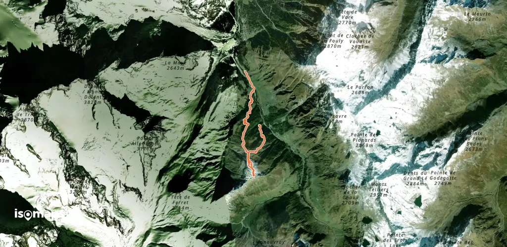
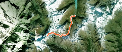
La Dotse - Couloir NE Cretté Letemaire

Pramplo, Suisse

6,18 km +919 m 2h 35min

Moderado
Pointe de Boveire - Couloir WSW

Col de Lâne, Suisse

9,59 km +1 515 m 4h 0min

Difícil
Grande Chenalette - en boucle depuis l'Hospice

Pointe des Lacerandes, Suisse

6,39 km +849 m 1h 35min

Moderado
Tête de Ferret, par la Peule

La Fouly, Switzerland

15,81 km +1 186 m 4h 15min

Fácil
Grand Tavé - Couloir E

Grand Tavé, Suisse

9,39 km +1 646 m 4h 0min

Difícil
Trouma des Boucs - De Ruz, par Crête Sèche

, Suisse

17,00 km +1 567 m 4h 40min

Fácil
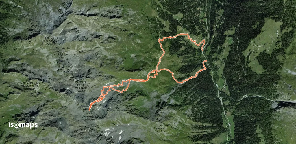
Les Louèrettes - Face NE directe

, Suisse

11,50 km +1 503 m 4h 30min

Difícil
Mont Fourchon - depuis Saint-Rhémy

, Suisse

13,88 km +1 208 m 4h 10min

Fácil
Douves Blanches - Pointe 3264 m - Couloir Anticourbe

La Maya, Switzerland

3,31 km +57 m 25min

Difícil

¿Listo para tu próxima salida?

Prueba Isomaps gratis 7 días. Disponible en iOS y Android.

Descargar en iOS Descargar en Android APK (sin Google)
Isomaps Tus salidas outdoor, en cualquier lugar, incluso sin red
Instalar Instalar