30 Touren in Bauges. Finden Sie Ihre nächste Route auf Isomaps — Topokarten, GPS und Höhenprofil.
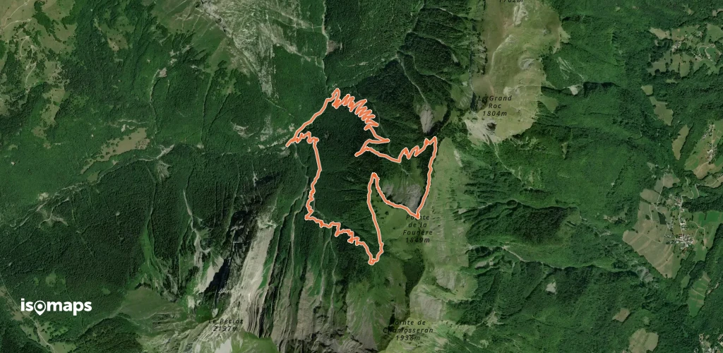
Pointe de Chamosseran, France
10,31 km +1 164 m 2h 55min
Mittel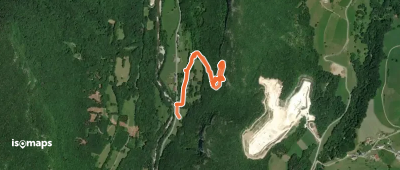
Sommet de Précheret, France
7,65 km +715 m 2h 25min
Mittel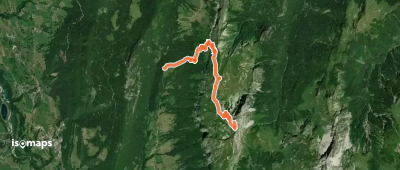

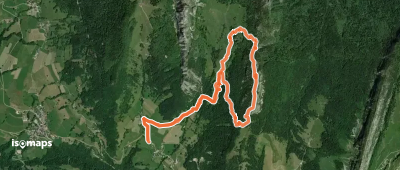
Chevaline, France
15,30 km +894 m 2h 30min
Mittel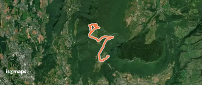
Verel-Pragondran, France
5,51 km +337 m 1h 30min
Mittel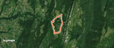
Dent des Portes, France
5,73 km +336 m 1h 20min
Mittel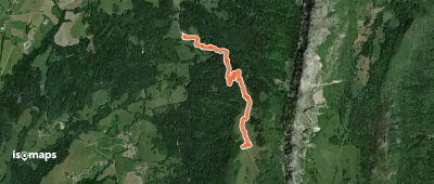
Roc des Boeufs, France
2,96 km +77 m 25min
Mittel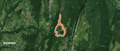
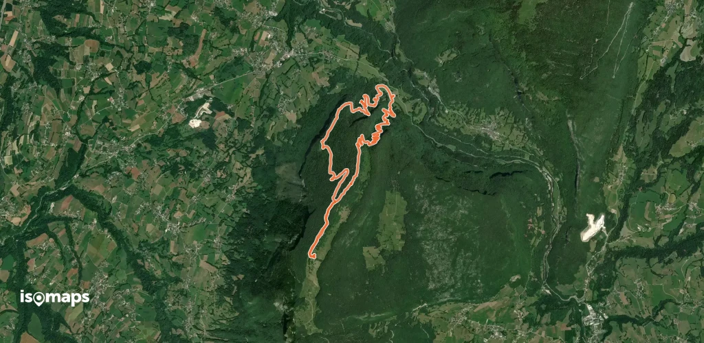
Montagne de Banges, France
13,52 km +1 084 m 3h 35min
MittelTesten Sie Isomaps 7 Tage kostenlos. Verfügbar für iOS und Android.
