16 Touren in Béarn - Balaïtous - Partacua. Finden Sie Ihre nächste Route auf Isomaps — Topokarten, GPS und Höhenprofil.
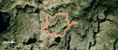
Peyregnets de Cambalès, France
19,00 km +1 558 m 5h 10min
Mittel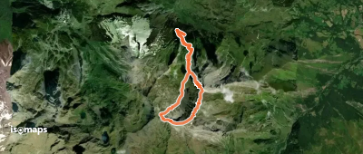
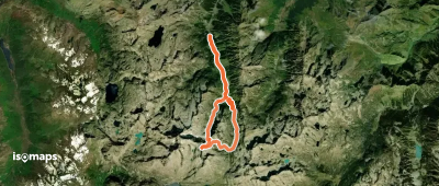
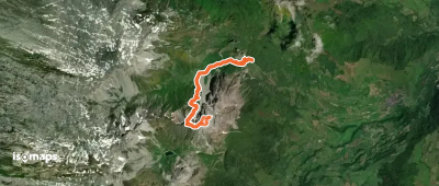
Pic de Gabizos, France
8,97 km +1 483 m 3h 35min
Mittel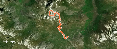
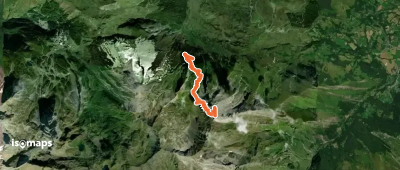
Pic Peyreget, France
10,81 km +988 m 2h 50min
Mittel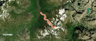
Pic de Gabizos, France
7,08 km +1 452 m 3h 10min
Mittel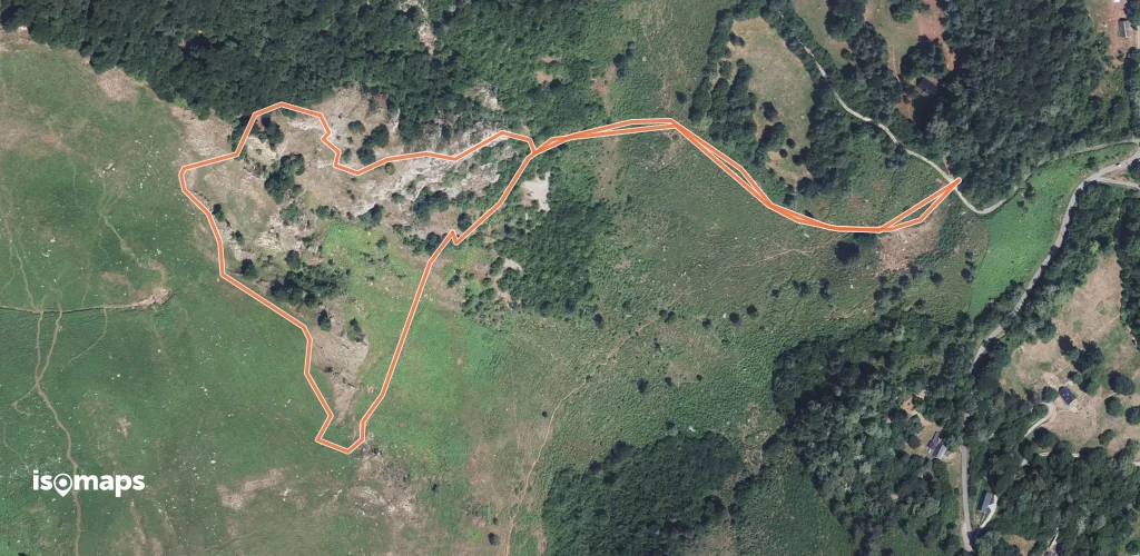
Testen Sie Isomaps 7 Tage kostenlos. Verfügbar für iOS und Android.
