62 Touren in Bornes - Aravis. Finden Sie Ihre nächste Route auf Isomaps — Topokarten, GPS und Höhenprofil.
Pointe de la Dent, France
6,07 km +1 247 m 3h 0min
Mittel
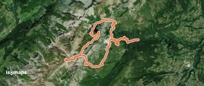
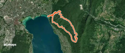
Pointe aux Frettes, France
13,28 km +1 677 m 4h 30min
Mittel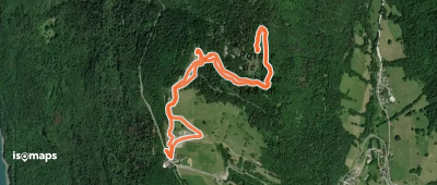
Roche de Roux, France
4,11 km +388 m 1h 10min
Mittel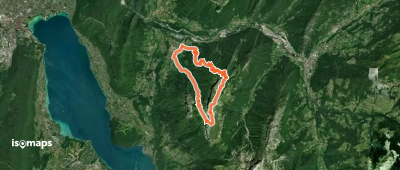
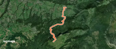
Dent du Cruet, France
15,28 km +1 874 m 4h 45min
Mittel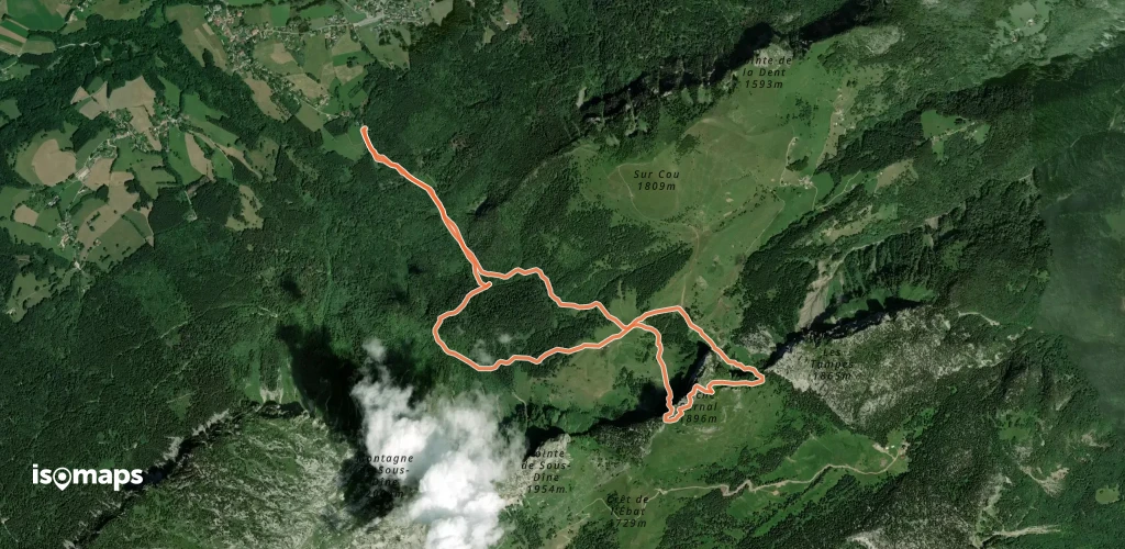
Roche Parnal, France
8,11 km +889 m 2h 25min
Mittel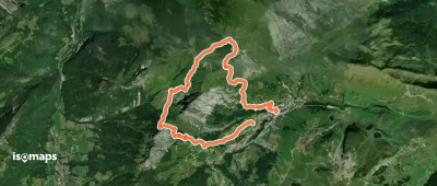
Aiguille Verte, France
10,07 km +970 m 3h 10min
Mittel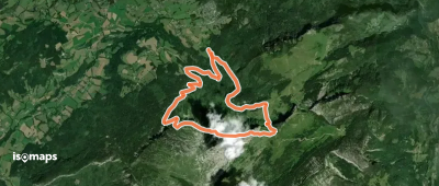
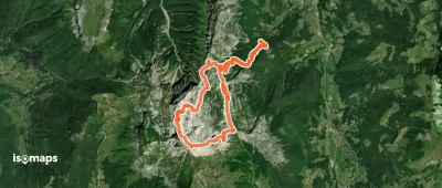
Montagne de Sous-Dine, France
10,53 km +976 m 3h 0min
Mittel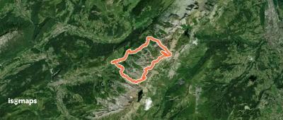
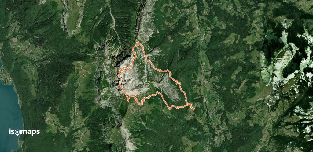
L'Ambrevetta, France
15,21 km +1 702 m 5h 20min
Mittel
La Tournette, France
14,67 km +1 521 m 4h 30min
Mittel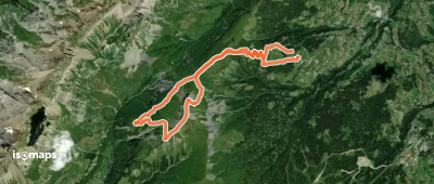
L'Ambrevetta, France
16,30 km +1 665 m 5h 0min
Mittel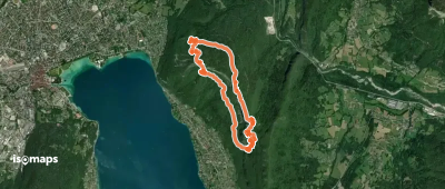
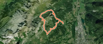
Mont Baron, France
9,50 km +1 082 m 2h 45min
Mittel
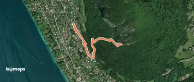
Menthon-Saint-Bernard, France
1,54 km +334 m 20min
Mittel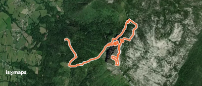
Veyrier-du-Lac, France
11,03 km +1 176 m 3h 25min
MittelGrand Montoir, France
15,57 km +1 514 m 4h 55min
MittelTesten Sie Isomaps 7 Tage kostenlos. Verfügbar für iOS und Android.
