124 Touren in Écrins. Finden Sie Ihre nächste Route auf Isomaps — Topokarten, GPS und Höhenprofil.
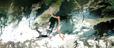
Glacier du Tabuchet, France
4,46 km +1 158 m 2h 15min
Mittel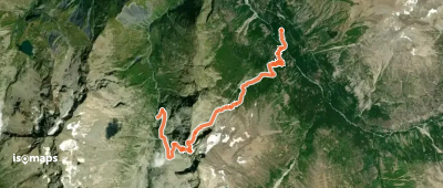
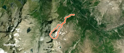
Cime du Soreiller, France
8,43 km +1 271 m 2h 40min
Mittel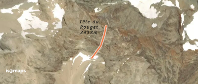
Roche de la Muzelle, France
3,40 km +12 m 30min
Mittel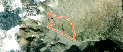
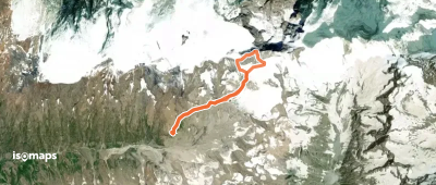
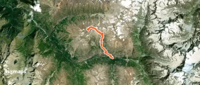
Montagne de Cedera, France
276 m +330 m 5min
Mittel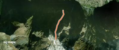
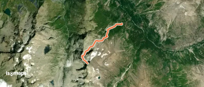
Le Bourg-d'Oisans, France
1,44 km +1 396 m 1h 0min
Mittel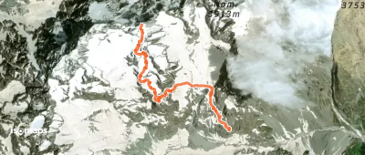
Sommet de l'Ailefroide, France
4,29 km +1 605 m 3h 5min
Mittel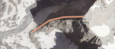
La Bernardière, France
3,80 km +1 533 m 3h 5min
Mittel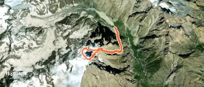
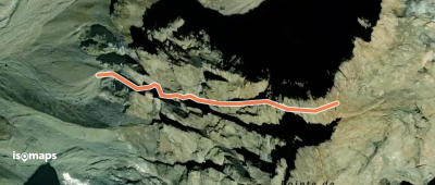
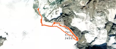
Le Petit Pelvoux, France
11,14 km +3 336 m 4h 30min
Mittel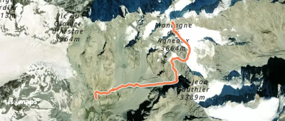
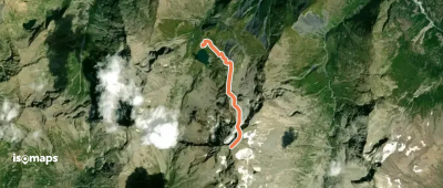
Tête de Lauranoure, France
7,22 km +1 538 m 3h 10min
Mittel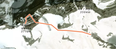
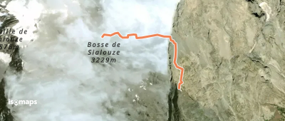
Aiguille Plat de la Selle, France
11,23 km +1 460 m 2h 55min
Mittel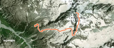
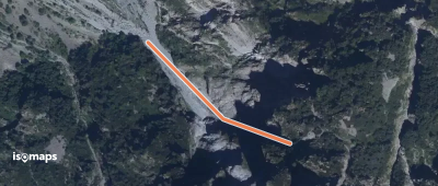
Le Petit Pelvoux, France
1,31 km +510 m 15min
MittelTesten Sie Isomaps 7 Tage kostenlos. Verfügbar für iOS und Android.
