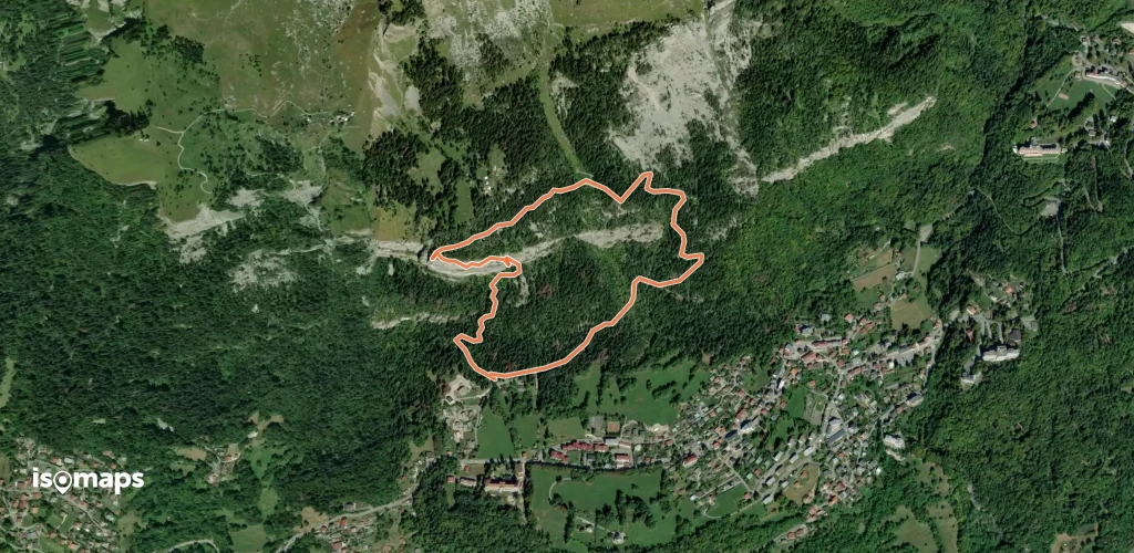
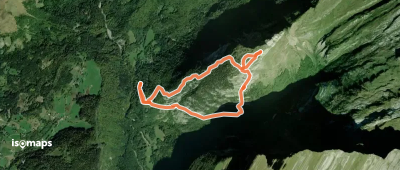
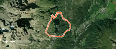
17 Touren in Haut Giffre - Aiguilles Rouges - Fiz. Finden Sie Ihre nächste Route auf Isomaps — Topokarten, GPS und Höhenprofil.
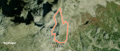
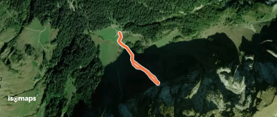
Col de Bretolet, France
1,35 km +211 m 30min
Mittel

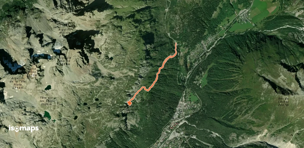
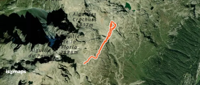
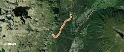
Aiguille de l'Encrena, France
4,92 km +735 m 1h 40min
MittelTesten Sie Isomaps 7 Tage kostenlos. Verfügbar für iOS und Android.
