33 Touren in Haut Giffre - Aiguilles Rouges - Fiz. Finden Sie Ihre nächste Route auf Isomaps — Topokarten, GPS und Höhenprofil.
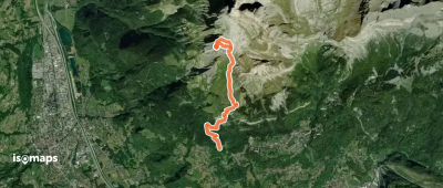
Aiguille de Varan, France
4,90 km +1 465 m 3h 25min
Mittel
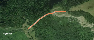
Staudamm Emosson, Switzerland
11,82 km +1 097 m 3h 55min
Mittel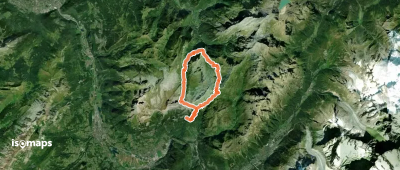
Pointe de Sales, France
23,79 km +1 931 m 6h 30min
Mittel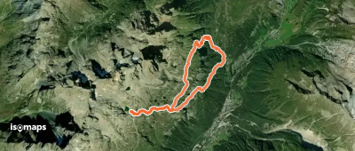
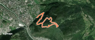
Refuge du Lac Blanc, France
10,02 km +1 072 m 2h 30min
Mittel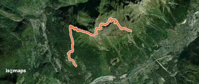
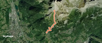
L'Aiguillette, France
8,12 km +1 168 m 2h 0min
Mittel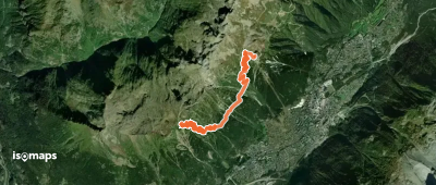
L'Aiguillettes des Possettes, France
10,42 km +819 m 2h 50min
Mittel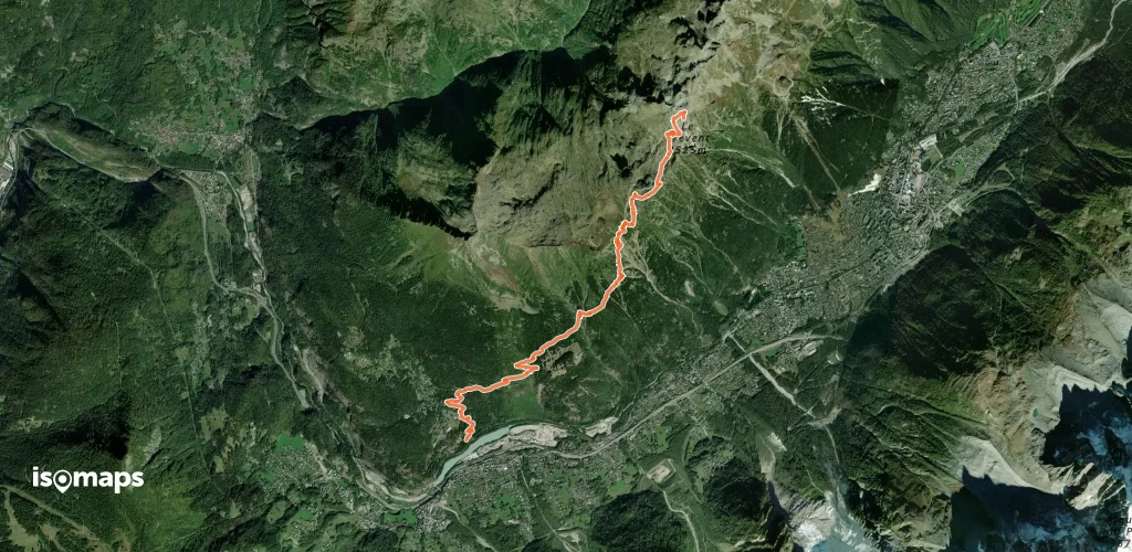
Testen Sie Isomaps 7 Tage kostenlos. Verfügbar für iOS und Android.
