66 Touren in Vercors. Finden Sie Ihre nächste Route auf Isomaps — Topokarten, GPS und Höhenprofil.
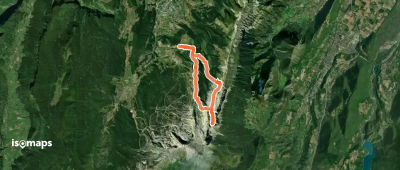

Sommet de Malaval, France
11,35 km +1 879 m 3h 50min
Mittel
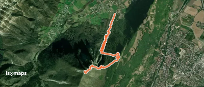
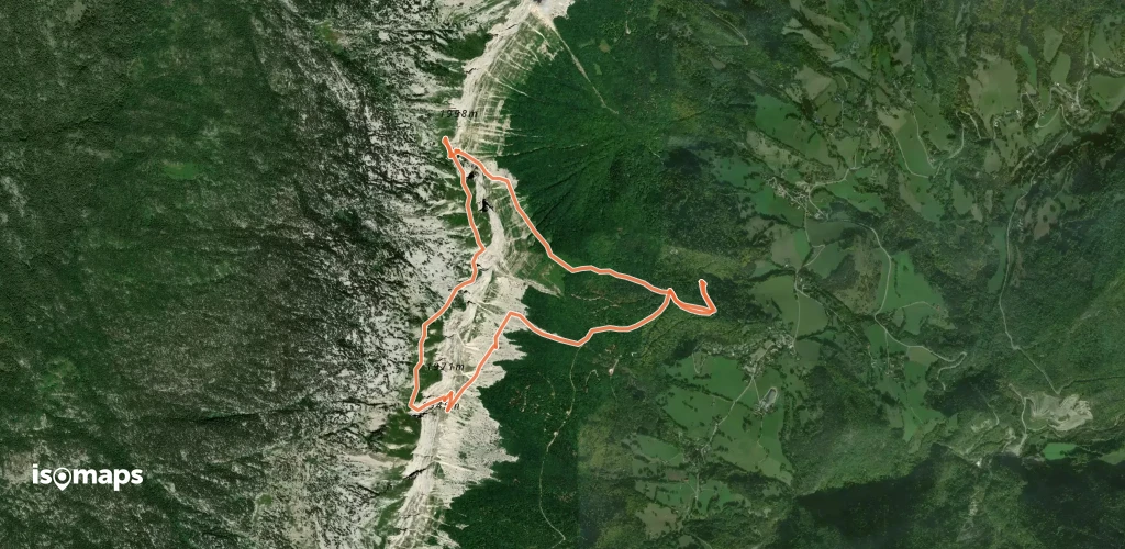
Grand Veymont, France
9,42 km +1 188 m 3h 20min
Mittel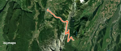
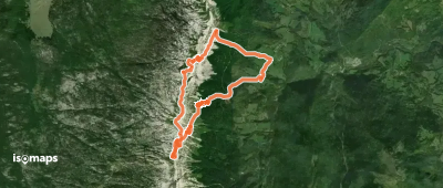
Saint-Andéol, France
7,24 km +933 m 2h 35min
MittelTesten Sie Isomaps 7 Tage kostenlos. Verfügbar für iOS und Android.
