Santander

9 Touren in Santander. Finden Sie Ihre nächste Route auf Isomaps — Topokarten, GPS und Höhenprofil.
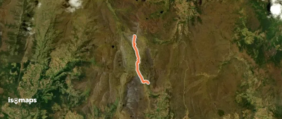
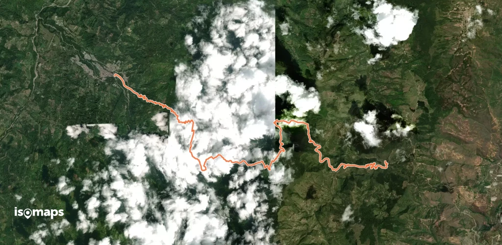
Ascenso al Cerro La Colorada

Cerrito, Colombie

6,38 km +902 m 3h 0min

Schwer
Camino de Lenguerke San Vicente-Zapatoca

San Vicente de Chucurí, Colombie

22,13 km +1 384 m 9h 50min

Sehr schwer
Camino por los Yariguies

Galán, Colombie

34,12 km +3 602 m 17h 5min

Sehr schwer
Camino Real de Legerke Guane - Zapatoca

Guane, Colombie

22,76 km +1 667 m 7h 25min

Sehr schwer

Bereit für Ihren nächsten Ausflug?

Testen Sie Isomaps 7 Tage kostenlos. Verfügbar für iOS und Android.

Für iOS herunterladen Für Android herunterladen APK (ohne Google)
Isomaps Deine Outdoor-Touren, überall, auch offline
Installieren Installieren

