Grand Est

1,772 Touren in Grand Est. Finden Sie Ihre nächste Route auf Isomaps — Topokarten, GPS und Höhenprofil.

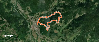
Le Sentier Vert 6 km

Bettlach, France

5,30 km +133 m 1h 10min

Sehr einfach
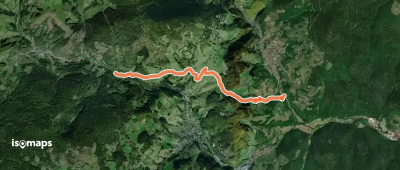
rectangle RBR 3
rectangle RBR 3

Grand Rosskopf, France

3,96 km +64 m 55min

Sehr einfach
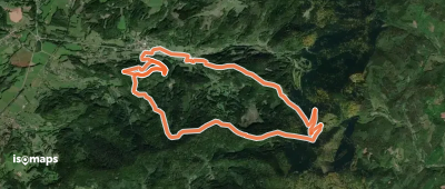
Circuit Jonc Fontaine

Jezainville, France

8,20 km +213 m 1h 50min

Einfach
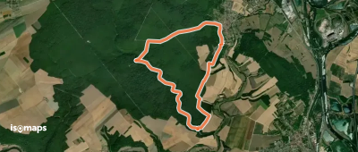
Le Signal de Saint-Loup

Saint-Loup-sur-Aujon, France

9,96 km +183 m 2h 10min

Einfach
Le Puits des Mérottes

Darmannes, France

11,97 km +140 m 2h 25min

Einfach
Le Sentier Vert 8 km

Hagenthal-le-Bas, France

8,48 km +186 m 1h 50min

Einfach
Petit circuit des Gemeaux

Saint-Amé, France

3,03 km +90 m 45min

Sehr einfach
Autour du Château
Autour du Château

Neubois, France

6,48 km +358 m 2h 10min

Einfach
Boucle de la Fontaine des Corbeaux

Maidières, France

14,82 km +301 m 3h 15min

Einfach
Circuit du Gerstacker

Altenbach, France

7,24 km +420 m 2h 25min

Einfach
Bel Air
Bel Air

Mareilles, France

12,12 km +132 m 2h 25min

Einfach
CV Audun-le-Roman
CV Audun-le-Roman

Audun-le-Roman, France

7,24 km +149 m 1h 35min

Sehr einfach
Le Tunnel Saint-Aignan

Saint-Aignan, France

5,70 km +151 m 1h 20min

Sehr einfach
Circuit du chalet de Bélué

Rupt-sur-Moselle, France

9,25 km +482 m 3h 0min

Mittel
Le Bâa - D 415   Coq Hardi
Le Bâa - D 415 Coq Hardi

Fréland, France

5,61 km +367 m 1h 40min

Einfach
Circuit de la chaume de Lusse

Lusse, France

14,51 km +622 m 4h 20min

Mittel
Boucle de la Croix des Charbonniers

Mamey, France

13,33 km +274 m 2h 55min

Einfach
La Vallée de l'Ennemane

Haraucourt, France

15,29 km +353 m 3h 15min

Mittel
Circuit la Vau Châtel

Jezainville, France

9,68 km +233 m 2h 15min

Einfach
Les fontaines du Ban d'Ajol

Plombières-les-Bains, France

3,81 km +161 m 1h 15min

Sehr einfach

Bereit für Ihren nächsten Ausflug?

Testen Sie Isomaps 7 Tage kostenlos. Verfügbar für iOS und Android.

Für iOS herunterladen Für Android herunterladen APK (ohne Google)
Isomaps Deine Outdoor-Touren, überall, auch offline
Installieren Installieren