Hauts-de-France

999 Touren in Hauts-de-France. Finden Sie Ihre nächste Route auf Isomaps — Topokarten, GPS und Höhenprofil.

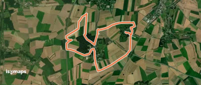
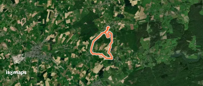
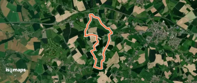
Sentier de la Muraille

Grigny, France

7,76 km +169 m 1h 40min

Sehr einfach
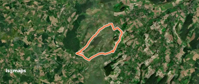
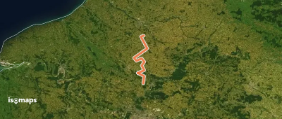
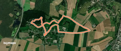
Entre Terres et Eaux

Hergnies, France

13,70 km +58 m 2h 45min

Einfach
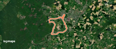
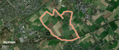
Les Deux Campigneulles

Campigneulles-les-Petites, France

13,22 km +84 m 2h 40min

Einfach
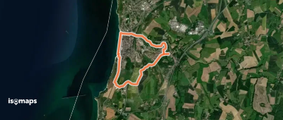
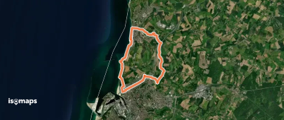
Sentier de la Garenne

Nabringhen, France

12,74 km +177 m 2h 40min

Einfach
Circuit du Sars Bara

Le Sart Bara, France

13,35 km +107 m 2h 45min

Einfach
Le Vert Buisson et Brode

Sains-du-Nord, France

8,88 km +139 m 1h 50min

Einfach
Les Deux Wims
Les Deux Wims

Wimille, France

6,63 km +107 m 1h 35min

Sehr einfach
Chemin de la Fache d'Ahant

Felleries, France

9,92 km +152 m 2h 10min

Einfach
De Cires-lès-Mello à Ailly-sur-Noye

Cires-lès-Mello, France

123,72 km +1 947 m 26h 30min

Sehr schwer
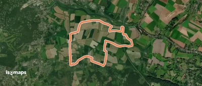
Sentier des Bas Champs

Zelucq, France

10,83 km +43 m 2h 10min

Einfach
Autour de Jenlain
Autour de Jenlain

Jenlain, France

8,88 km +139 m 3h 35min

Einfach
Circuit du Plouys
Circuit du Plouys

Estaimpuis, France

5,31 km +22 m 1h 5min

Sehr einfach
La Forteresse
La Forteresse

Leubringhen, France

24,59 km +436 m 5h 15min

Schwer
La Canarderie
La Canarderie

Condé-sur-l'Escaut, France

9,57 km +51 m 1h 55min

Einfach
Les Trois Calvaires
Les Trois Calvaires

Licques, France

12,25 km +165 m 2h 30min

Einfach
Sentier du Chemin Blanc

Blangy-sur-Ternoise, France

13,06 km +237 m 2h 45min

Einfach
Le Parcours Impérial

Boulogne-sur-Mer, France

14,05 km +232 m 3h 25min

Einfach
Circuit du Pissotiau

Bermeries, France

7,79 km +96 m 1h 35min

Sehr einfach
Le Mont Hulin
Le Mont Hulin

Sorrus, France

6,54 km +86 m 1h 20min

Sehr einfach
Sentier Philippe de Montgardin

Bouquehault, France

14,19 km +239 m 2h 55min

Einfach

Bereit für Ihren nächsten Ausflug?

Testen Sie Isomaps 7 Tage kostenlos. Verfügbar für iOS und Android.

Für iOS herunterladen Für Android herunterladen APK (ohne Google)
Isomaps Deine Outdoor-Touren, überall, auch offline
Installieren Installieren