Massif Central

3,015 Touren in Massif Central. Finden Sie Ihre nächste Route auf Isomaps — Topokarten, GPS und Höhenprofil.
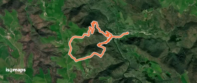
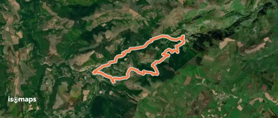
Sentier du Bosc Grand

Fournes-Cabardès, France

10,02 km +489 m 3h 15min

Mittel
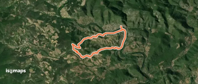
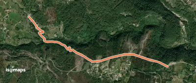
Saint Goussaud 4 : Bois de roche

Saint-Goussaud, France

8,42 km +286 m 2h 10min

Einfach
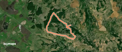
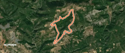
La Drechou - Talaron

Saint-Genest-Lachamp, France

3,44 km +303 m 1h 20min

Einfach
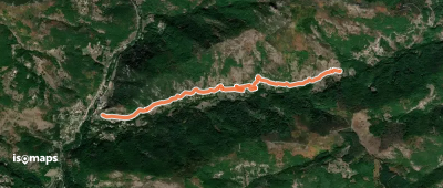
De Mazaye à Saint-Ours

Saint-Ours, France

15,72 km +400 m 4h 0min

Mittel
Chapelle Sainte-Foy
Chapelle Sainte-Foy

Conques, France

5,93 km +453 m 3h 5min

Mittel
La vallée des Oliviers

Fournes-Cabardès, France

4,99 km +361 m 2h 5min

Einfach
L’Arboussié
L’Arboussié

Roquebrun, France

8,69 km +298 m 2h 45min

Einfach
Saint-Privat - La Téoule

Saint-Privat, France

4,03 km +175 m 1h 0min

Sehr einfach
Le Chemin des Moines

Naucelle, France

29,52 km +842 m 7h 45min

Schwer
Les Balcons de Dracy

Dracy-lès-Couches, France

7,79 km +143 m 1h 45min

Sehr einfach
Le Courtiol - La Faysse

Saint-Pierre-de-Colombier, France

3,68 km +373 m 1h 50min

Einfach
Sentier du Liamou
Sentier du Liamou

Murasson, France

11,02 km +433 m 3h 15min

Mittel
Les méandres de l’Orbiel

Mas-Cabardès, France

6,53 km +441 m 2h 55min

Mittel
Les Vignes de Ronchalon

Enval, France

8,82 km +239 m 2h 0min

Einfach
Chemin de Montaigne de Saint-Jean-la-Vêtre à Thiers

Thiers, France

27,91 km +1 117 m 7h 10min

Schwer
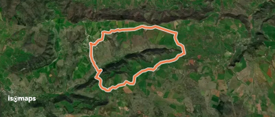
Mille Soles - Fontalazon

Aizac, France

1,93 km +142 m 35min

Sehr einfach
La Vallée du Cruou
La Vallée du Cruou

Grand-Mas, France

11,19 km +399 m 3h 15min

Einfach
Croix de la Mission - Chéron

Sanilhac, France

2,42 km +59 m 45min

Sehr einfach
Le Causse de Lauriol

Saint-Céré, France

8,76 km +323 m 2h 35min

Einfach
Peyre Martine
Peyre Martine

Saint-Jean-de-Buèges, France

16,08 km +1 054 m 6h 25min

Schwer

Bereit für Ihren nächsten Ausflug?

Testen Sie Isomaps 7 Tage kostenlos. Verfügbar für iOS und Android.

Für iOS herunterladen Für Android herunterladen APK (ohne Google)
Isomaps Deine Outdoor-Touren, überall, auch offline
Installieren Installieren