Colli Euganei

61 Touren in Colli Euganei. Finden Sie Ihre nächste Route auf Isomaps — Topokarten, GPS und Höhenprofil.
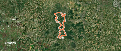
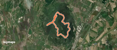
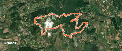
Alta Via dei Colli Euganei

Carbonara, Italie

41,59 km +2 609 m 16h 40min

Sehr schwer
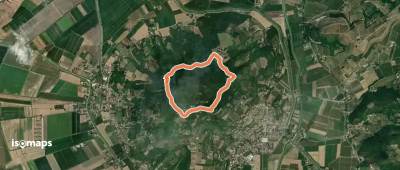
Sentiero del Giubileo

Tramonte, Italie

3,76 km +196 m 1h 30min

Sehr einfach
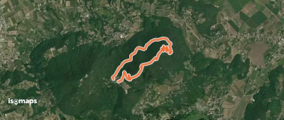
Sentiero 6 del Monte Ricco e del Monte Castello

Arquà Petrarca, Italie

3,96 km +364 m 4h 50min

Einfach
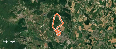
Sentiero Cava Monte Croce Sentiero delle Creste

Battaglia Terme, Italie

6,86 km +489 m 3h 5min

Einfach
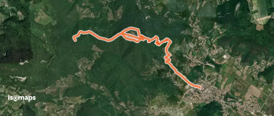
Allacciante "C" da Galzignano

Monte Rua, Italie

4,78 km +130 m 3h 30min

Sehr einfach
Il Cammino dell'Alleanza

Battaglia Terme, Italie

26,51 km +918 m 7h 50min

Schwer
Sentiero Ferro di Cavallo

Battaglia Terme, Italie

4,24 km +138 m 1h 10min

Sehr einfach
Sentiero Atestino
Sentiero Atestino

Cinto Euganeo, Italie

18,78 km +1 152 m 8h 0min

Sehr schwer
Sentiero del Monte Lozzo

Lozzo Atestino, Italie

2,86 km +185 m 1h 35min

Einfach
Sentiero del Monte Grande

Rovolon, Italie

3,91 km +254 m 1h 45min

Einfach
Sentiero Villa Draghi

Montegrotto Terme, Italie

5,44 km +373 m 2h 20min

Einfach
Sentiero degli Alpini

Rovolon, Italie

5,22 km +415 m 2h 45min

Mittel
Sentiero del Monte Gallo Monte delle Grotte e Monte delle Basse

Valsanzibio, Italie

3,09 km +179 m 3h 5min

Sehr einfach

Bereit für Ihren nächsten Ausflug?

Testen Sie Isomaps 7 Tage kostenlos. Verfügbar für iOS und Android.

Für iOS herunterladen Für Android herunterladen APK (ohne Google)
Isomaps Deine Outdoor-Touren, überall, auch offline
Installieren Installieren