20 Touren in Hautes Andes / Andes centrales. Finden Sie Ihre nächste Route auf Isomaps — Topokarten, GPS und Höhenprofil.
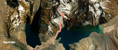
Embalse El Yeso, Chili
3,85 km +40 m 35min
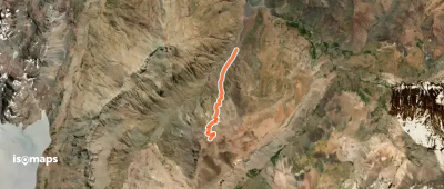
Paso Villagra, Argentina
3,38 km +932 m 2h 25min
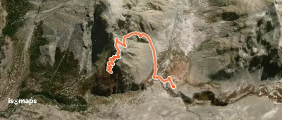
Cerro El Alto, Chile
2,24 km +202 m 35min
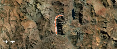
Parada Portillo, Chile
6,01 km +16 m 35min
Testen Sie Isomaps 7 Tage kostenlos. Verfügbar für iOS und Android.