Béarn - Balaïtous - Partacua

22 Touren in Béarn - Balaïtous - Partacua. Finden Sie Ihre nächste Route auf Isomaps — Topokarten, GPS und Höhenprofil.
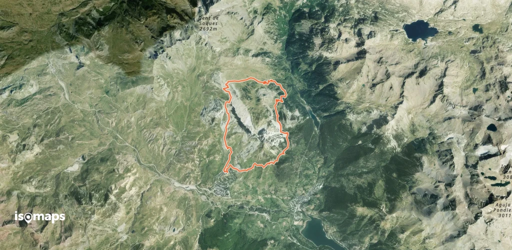
Peña Foratata  - La boucle
Peña Foratata - La boucle

, Espagne

10,19 km +1 100 m 2h 55min

Einfach
Vértice d'Anayet - par l'arête N

, Espagne

12,00 km +860 m 3h 10min

Mittel
Pic du col de Sobe - depuis La Sarra

, Espagne

13,02 km +1 200 m 4h 20min

Einfach
Pics de Frondella - Versant W (voie normale) par Larribet

Punta de la Frondella, Espagne

12,62 km +1 696 m 4h 45min

Mittel
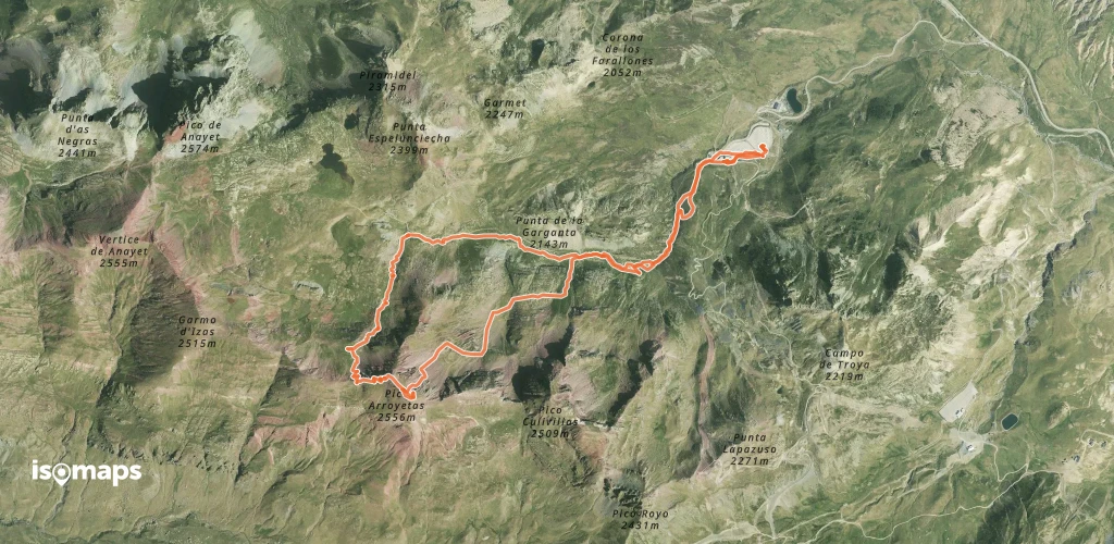
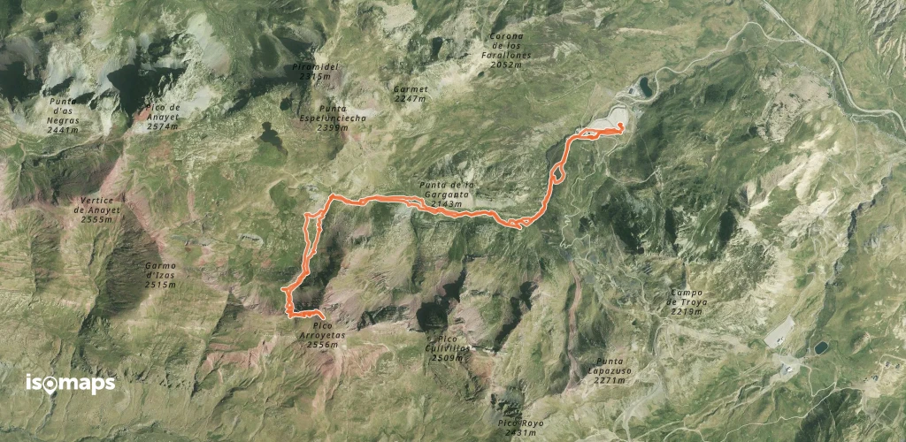
Las Arroyeras (Pico Arroyetas) - Couloir NE

, Espagne

9,48 km +900 m 3h 15min

Schwer
Pico Labata - Depuis le Sansanet

, Espagne

12,22 km +1 250 m 4h 5min

Mittel
Punta Tarmañones o Pimendalluelo - Depuis Escarilla

Pasino, Espagne

9,66 km +875 m 2h 15min

Einfach

Bereit für Ihren nächsten Ausflug?

Testen Sie Isomaps 7 Tage kostenlos. Verfügbar für iOS und Android.

Für iOS herunterladen Für Android herunterladen APK (ohne Google)
Isomaps Deine Outdoor-Touren, überall, auch offline
Installieren Installieren