20 Touren in Alpes Grées - Charbonnel. Finden Sie Ihre nächste Route auf Isomaps — Topokarten, GPS und Höhenprofil.
Col du Montet, France
4,66 km +1 167 m 3h 0min
Einfach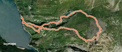
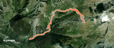
Sainte-Foy-Tarentaise, France
9,00 km +370 m 1h 45min
MittelTesten Sie Isomaps 7 Tage kostenlos. Verfügbar für iOS und Android.
