27 Touren in Bauges. Finden Sie Ihre nächste Route auf Isomaps — Topokarten, GPS und Höhenprofil.

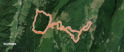
Aillon-le-Vieux, France
8,97 km +1 021 m 3h 10min
Mittel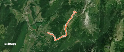

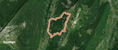
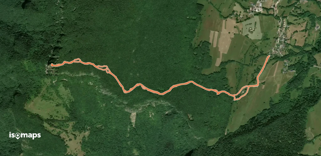
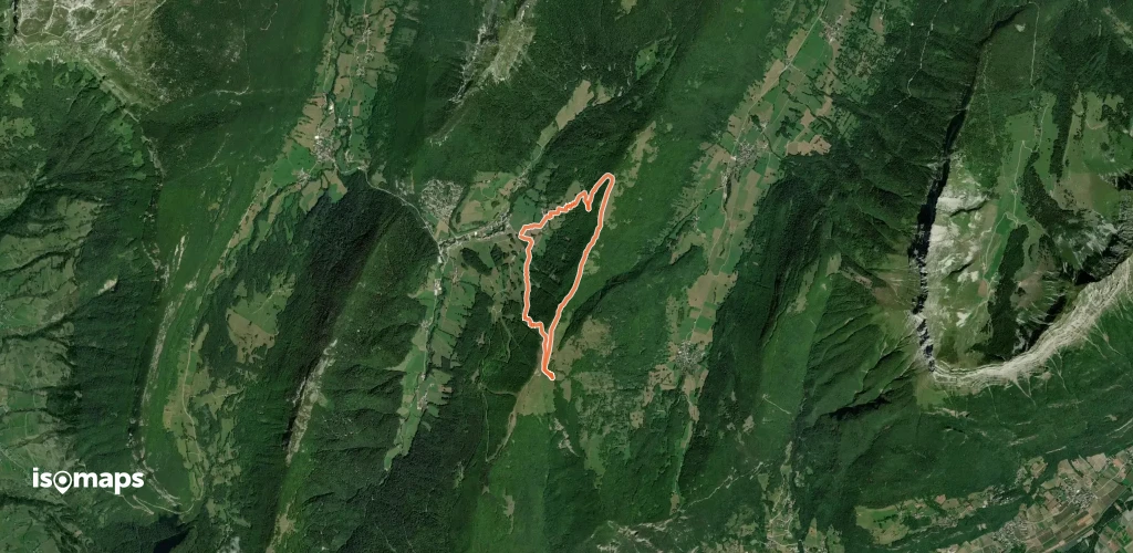
Col de Tamié, France
15,32 km +1 522 m 4h 45min
Einfach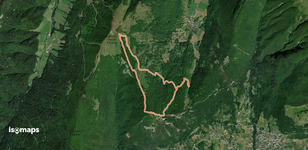
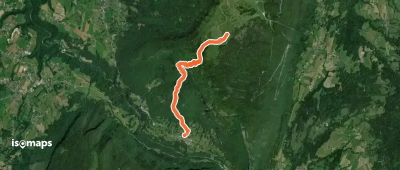

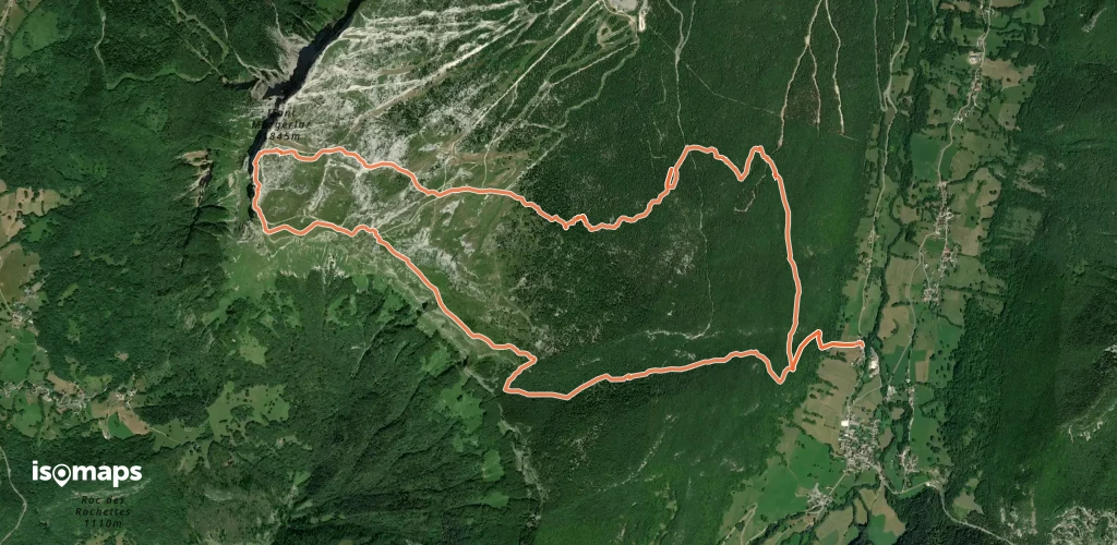
Station de Seythenex-La Sambuy, France
3,15 km +1 026 m 2h 35min
Schwer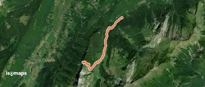
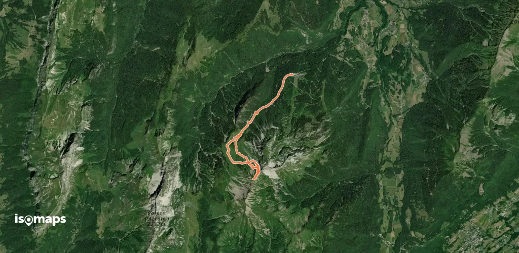
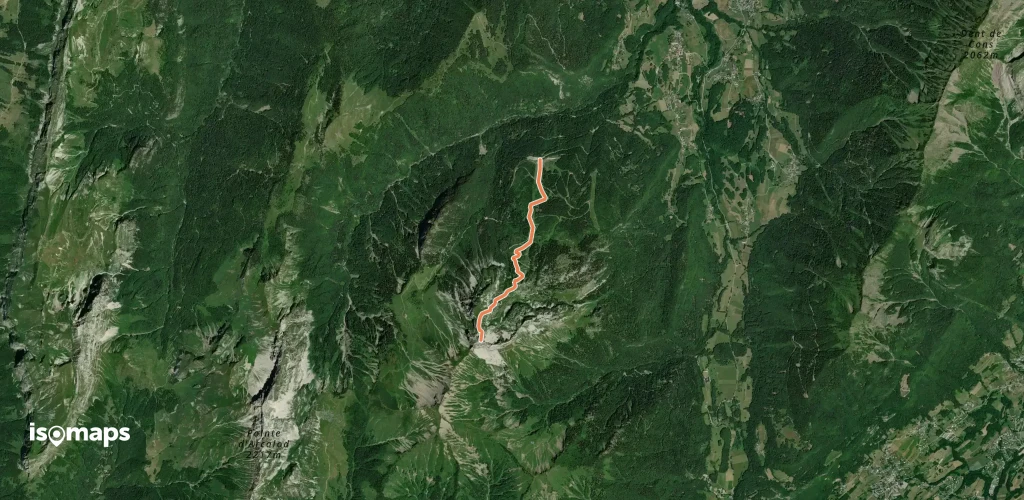
La Correrie, France
6,97 km +635 m 2h 10min
Sehr einfach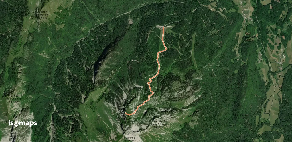
Station de Seythenex-La Sambuy, France
2,89 km +925 m 2h 25min
Sehr einfach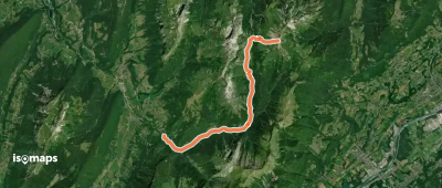
Testen Sie Isomaps 7 Tage kostenlos. Verfügbar für iOS und Android.
