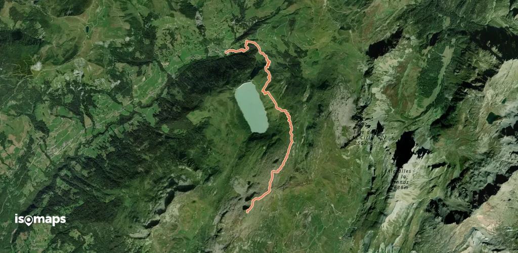
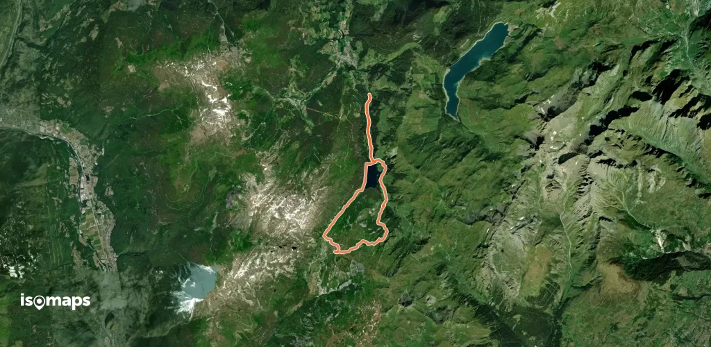
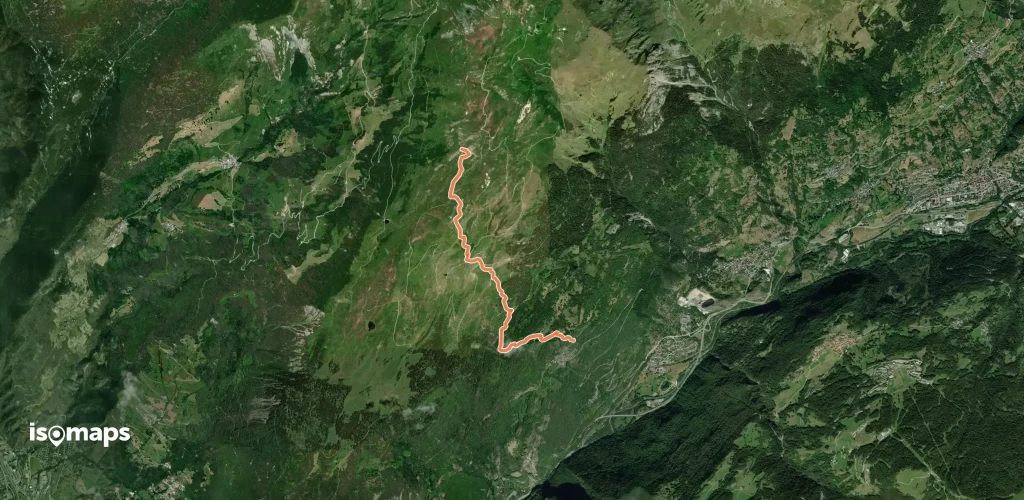
87 Touren in Beaufortain. Finden Sie Ihre nächste Route auf Isomaps — Topokarten, GPS und Höhenprofil.
Col du Joly, France
15,70 km +965 m 3h 55min
Mittel
Praz-sur-Arly, France
16,14 km +850 m 4h 0min
Mittel
Glacier de Trélatête, France
9,77 km +1 969 m 1h 55min
Mittel
Le Bettex, France
4,58 km +470 m 1h 45min
Sehr einfach
Le Grand Rognioux, France
10,25 km +1 386 m 4h 5min
Einfach
Aiguille de la Pénaz, France
14,02 km +2 100 m 3h 30min
Mittel
Aiguille de Roselette, France
29,00 km +1 587 m 6h 30min
Mittel
Aiguille du Grand Fond, France
56,00 km +3 560 m 7h 10min
Schwer
Arêches, France
15,00 km +1 100 m 2h 55min
Einfach
Testen Sie Iso Maps 7 Tage kostenlos. Verfügbar für iOS und Android.