300 Touren in Bigorre - Ordesa. Finden Sie Ihre nächste Route auf Isomaps — Topokarten, GPS und Höhenprofil.
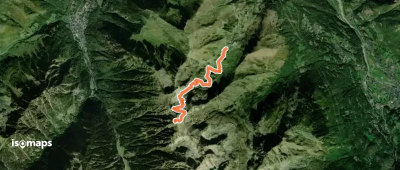
Parc National des Pyrénées Occidentales, France
8,00 km +921 m 2h 55min
Mittel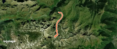
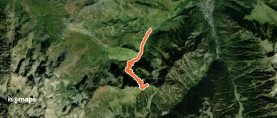
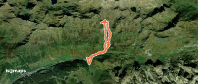
Pic de Pène Blanque, France
5,08 km +576 m 1h 55min
Schwer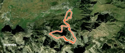
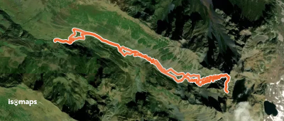

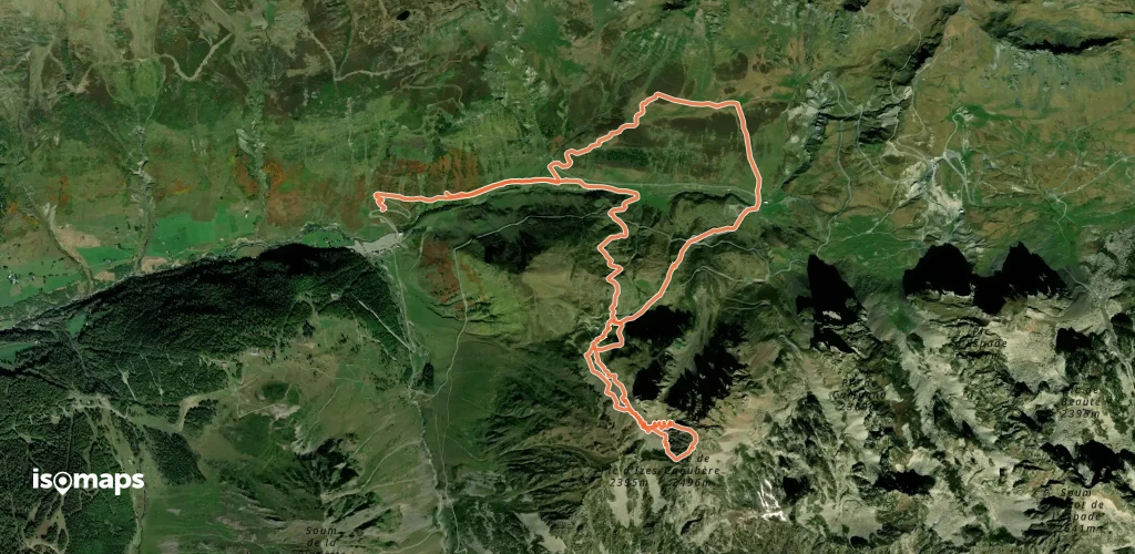
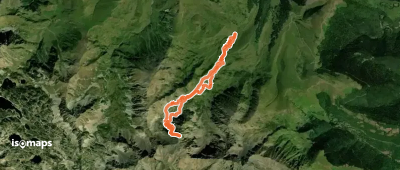
Soum des Salettes, France
10,61 km +1 271 m 3h 55min
Einfach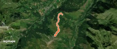
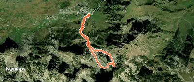
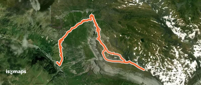
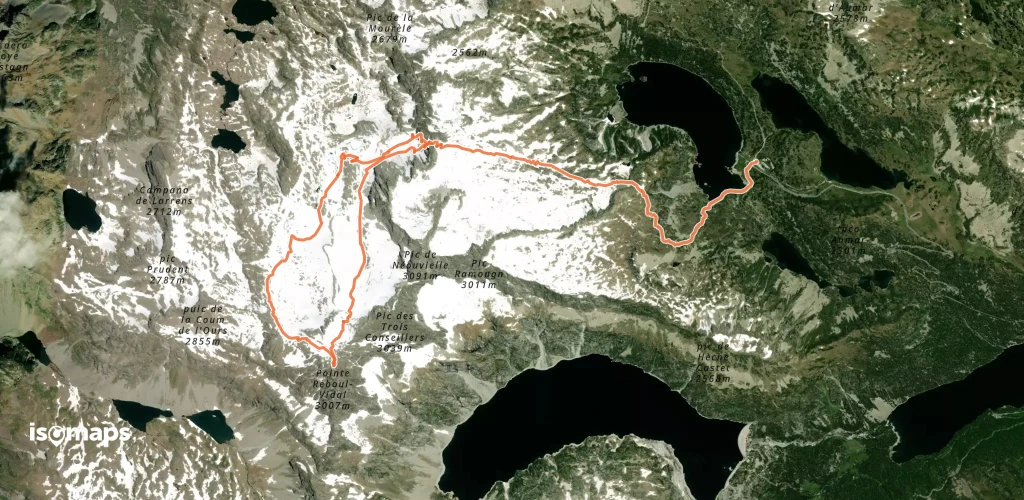
Col du Tourmalet, France
10,88 km +1 192 m 3h 25min
Schwer
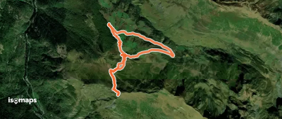
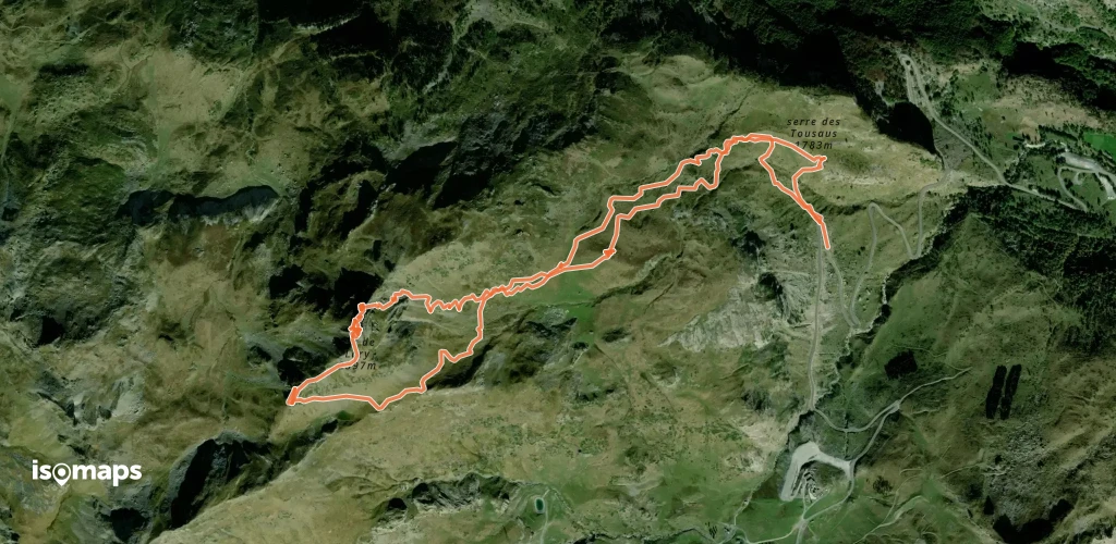
Crête d'Espade, France
8,75 km +1 259 m 3h 35min
Mittel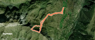
Station de ski des Espécières (Gavarnie), France
6,24 km +795 m 2h 0min
MittelTesten Sie Isomaps 7 Tage kostenlos. Verfügbar für iOS und Android.
