Launch-Angebot: Abonnieren Sie vor dem 12. Juli und sichern Sie sich Ihren Preis auf Lebenszeit. Preise ansehen

Cerces - Thabor - Mont-Cenis

57 Touren in Cerces - Thabor - Mont-Cenis. Finden Sie Ihre nächste Route auf Isomaps — Topokarten, GPS und Höhenprofil.

Grand Galibier - Couloir SE de l'arête W du Roc Termier (Couloir Albert)

Roche du Grand Galibier, France

4,42 km +143 m 40min

Mittel
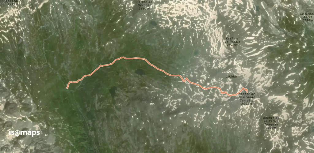
Rocher de la Grande Tempête - Versant W par le Vallon des Muandes

Col de la Madeleine, France

5,10 km +826 m 2h 25min

Mittel
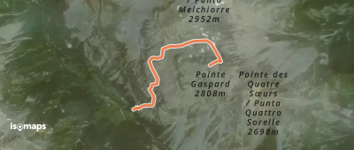
Pointe Gaspard - Par le vallon froid

Punta Gasparre, France

2,72 km +1 119 m 35min

Mittel
Pointe de la Tête Noire (ou de la Mandette) - Versant S

Roche du Grand Galibier, France

12,57 km +1 760 m 5h 10min

Einfach

Bereit für Ihren nächsten Ausflug?

Testen Sie Isomaps 7 Tage kostenlos. Verfügbar für iOS und Android.

Für iOS herunterladen Für Android herunterladen APK (ohne Google)
Isomaps Deine Outdoor-Touren, überall, auch offline
Installieren Installieren