Launch-Angebot: Abonnieren Sie vor dem 12. Juli und sichern Sie sich Ihren Preis auf Lebenszeit. Preise ansehen

Devoluy

28 Touren in Devoluy. Finden Sie Ihre nächste Route auf Isomaps — Topokarten, GPS und Höhenprofil.

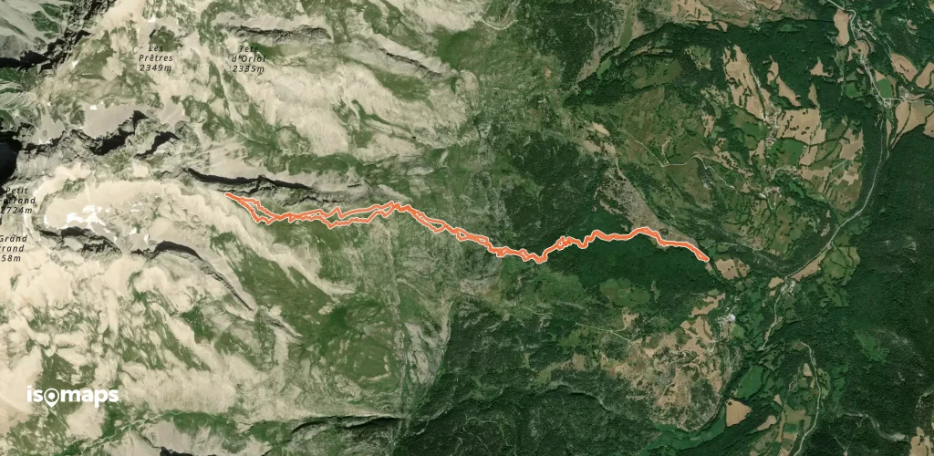
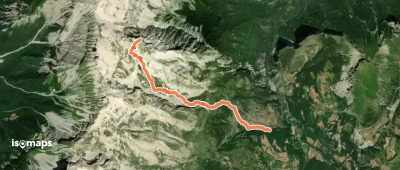
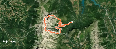
Crête de l'Etoile, face E

Le Grand Villard, France

9,75 km +1 083 m 3h 25min

Einfach
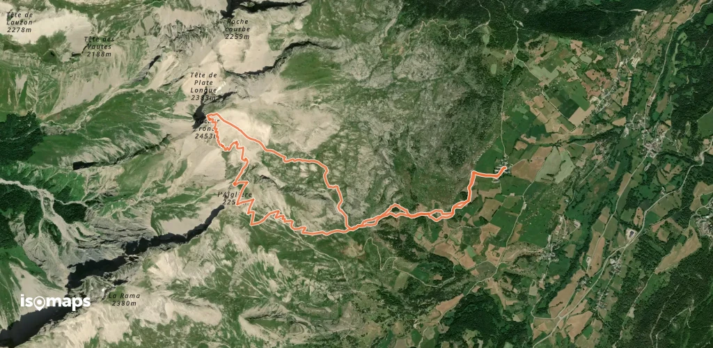
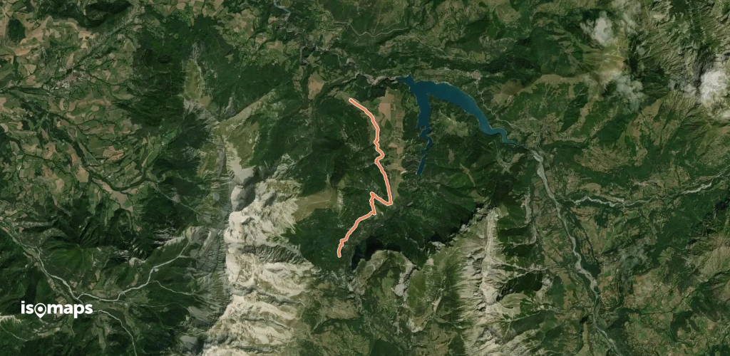
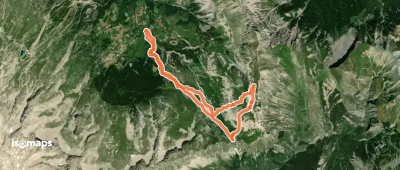
Rocher Rond, Boucle par  l'Aiglière
Rocher Rond, Boucle par l'Aiglière

La Chaup, France

9,92 km +1 261 m 3h 50min

Mittel
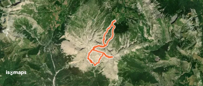
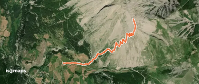
Tour anti-horaire du Roc de Garnesier

La Jarjatte, France

11,53 km +1 305 m 3h 45min

Mittel
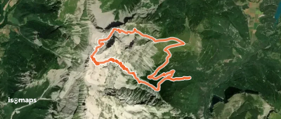
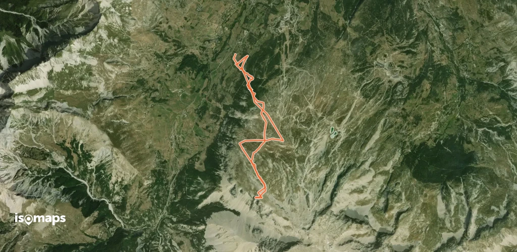
Grand Ferrand - Voie du Chourum Olympique

Grand Ferrand, France

13,75 km +1 854 m 4h 55min

Sehr schwer
Tête de Lapras, par le Vallon du Mas

Saint-Disdier, France

6,20 km +1 417 m 3h 45min

Einfach
Pic de Bure, circuit des trois combes

L'Enclus, France

19,49 km +2 168 m 6h 50min

Mittel
Bonnet de l'Evêque, Tour de l'Obiou

La Posterie, France

16,04 km +1 771 m 5h 0min

Schwer
Obiou - Tour antihoraire de l'Obiou

Grande Tête de l'Obiou, France

24,81 km +2 336 m 6h 55min

Mittel
Tête de Girbault - Face SW

Le Dévoluy, France

4,23 km +957 m 2h 30min

Mittel
Pic de Bure, Combe Ratin

L'Enclus, France

16,19 km +1 432 m 5h 5min

Mittel
Pic de Pré Chambenne, En boucle par le Col de Rabou

L'Enclus, France

12,00 km +996 m 3h 25min

Einfach
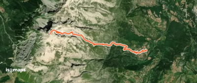
Grand Ferrand, voie du Chourum Olympique

Le Grand Villard, France

7,50 km +1 559 m 3h 50min

Sehr schwer

Bereit für Ihren nächsten Ausflug?

Testen Sie Isomaps 7 Tage kostenlos. Verfügbar für iOS und Android.

Für iOS herunterladen Für Android herunterladen APK (ohne Google)
Isomaps Deine Outdoor-Touren, überall, auch offline
Installieren Installieren