85 Touren in Grandes Rousses - Arves. Finden Sie Ihre nächste Route auf Isomaps — Topokarten, GPS und Höhenprofil.
Vaujany, France
3,84 km +779 m 2h 10min
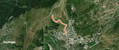
Station d'Oz-en-Oisans, France
1,50 km +306 m 45min
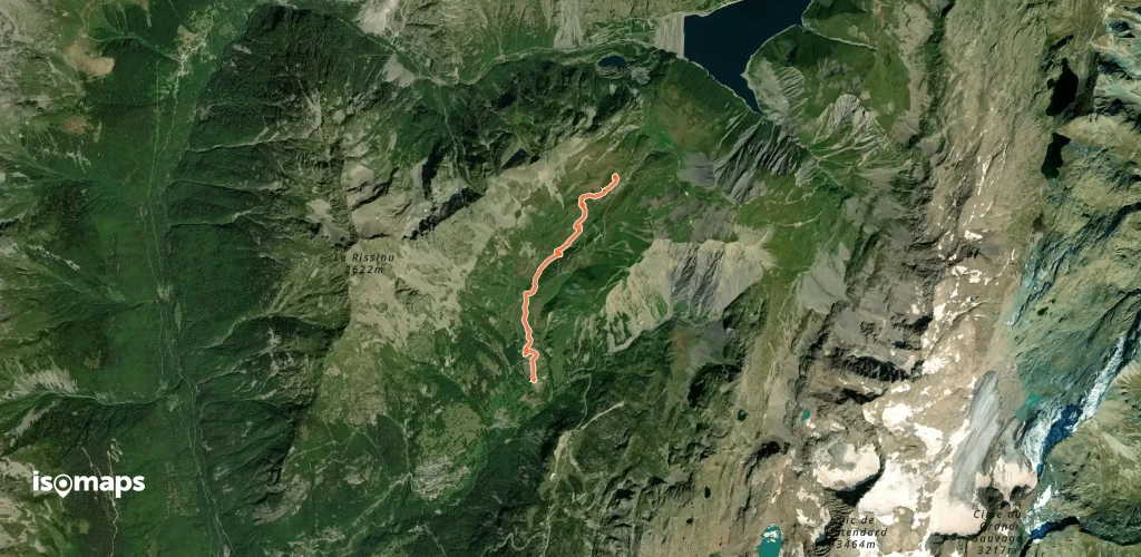
Bonnenuit, France
5,97 km +1 061 m 3h 0min
Testen Sie Isomaps 7 Tage kostenlos. Verfügbar für iOS und Android.