62 Touren in Haut Giffre - Aiguilles Rouges - Fiz. Finden Sie Ihre nächste Route auf Isomaps — Topokarten, GPS und Höhenprofil.
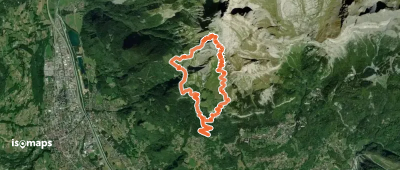
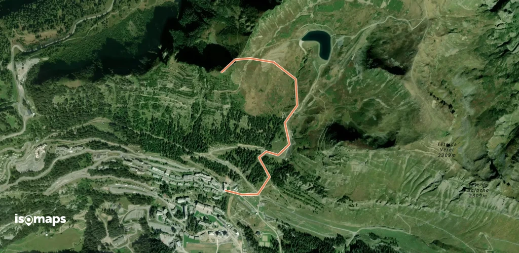
Aiguille de Varan, France
11,66 km +1 696 m 4h 15min
Sehr schwer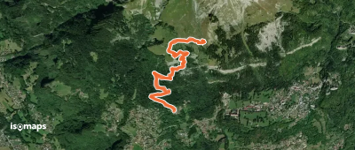
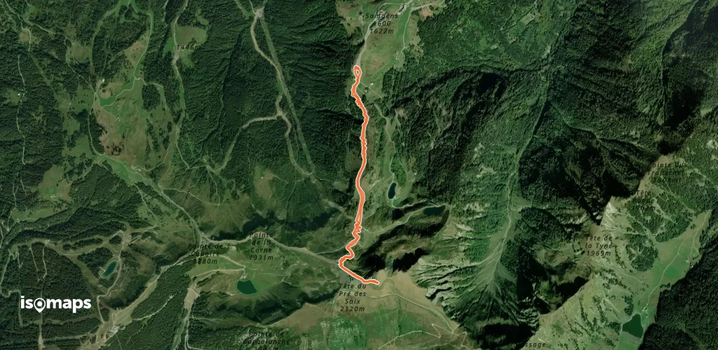
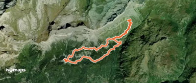
Pointe Rousse des Chambres, France
17,04 km +1 719 m 5h 5min
Einfach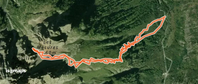
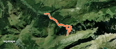
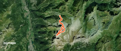
Aiguille de Praz Torent, France
5,57 km +1 108 m 1h 25min
Mittel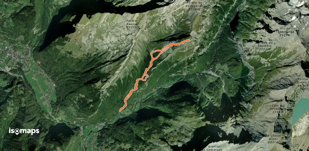
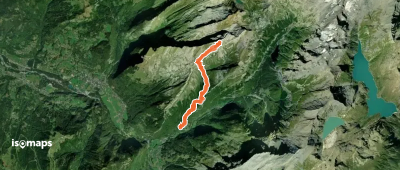
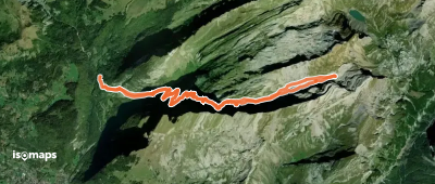
Flaine, France
21,53 km +2 388 m 6h 55min
Mittel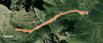
Testen Sie Isomaps 7 Tage kostenlos. Verfügbar für iOS und Android.
