73 Touren in Lauzière - Cheval Noir. Finden Sie Ihre nächste Route auf Isomaps — Topokarten, GPS und Höhenprofil.
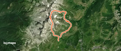
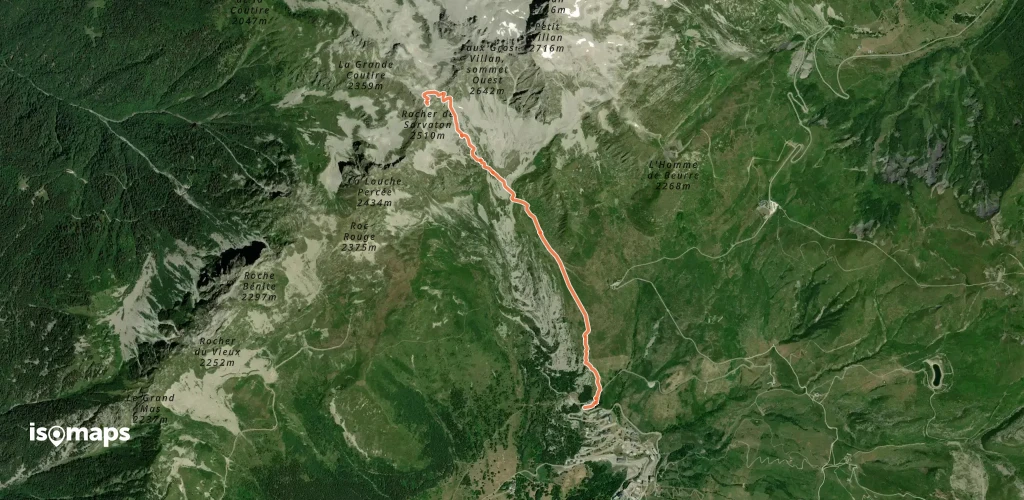
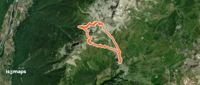
Celliers, France
12,62 km +1 350 m 4h 20min
Sehr schwer
Saint-Jean-de-Belleville, France
21,56 km +2 200 m 6h 55min
Mittel
Celliers, France
17,52 km +2 300 m 6h 55min
Einfach
Mont du Fût, France
20,80 km +1 500 m 1h 50min
Mittel
Le Cheval Noir, France
3,33 km +1 100 m 40min
MittelPointe du Mont du Fût, France
2,91 km +1 200 m 35min
MittelMollard des Boeufs, France
9,51 km +1 550 m 1h 55min
Mittel
Pointe des Arangles, France
4,38 km +1 050 m 1h 5min
EinfachPointe de Combe Bronsin, France
3,63 km +1 223 m 45min
Einfach
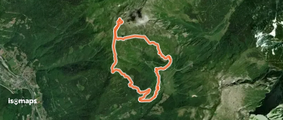
Testen Sie Iso Maps 7 Tage kostenlos. Verfügbar für iOS und Android.