39 Touren in Queyras S - Parpaillon - Ubaye - Orrenaye. Finden Sie Ihre nächste Route auf Isomaps — Topokarten, GPS und Höhenprofil.
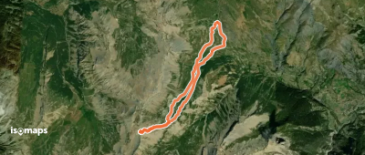
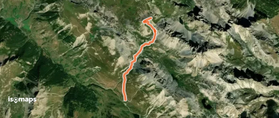
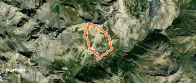
Pointe de la Font-Sancte, France
9,81 km +1 924 m 3h 25min
Sehr schwer
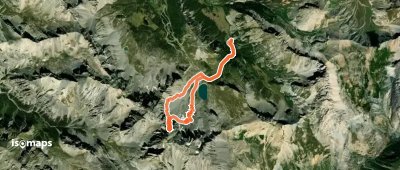
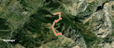
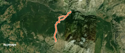
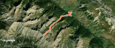
Les Bonis, France
7,82 km +1 487 m 4h 10min
Einfach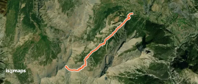
Testen Sie Isomaps 7 Tage kostenlos. Verfügbar für iOS und Android.
