10 Touren in Taillefer - Matheysine. Finden Sie Ihre nächste Route auf Isomaps — Topokarten, GPS und Höhenprofil.
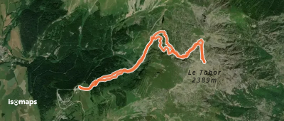
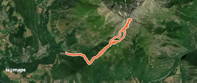
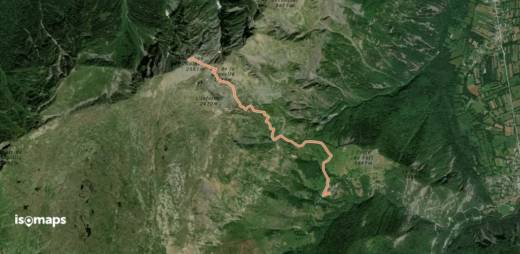
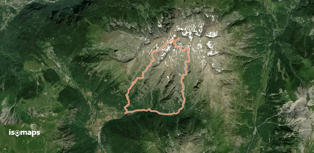
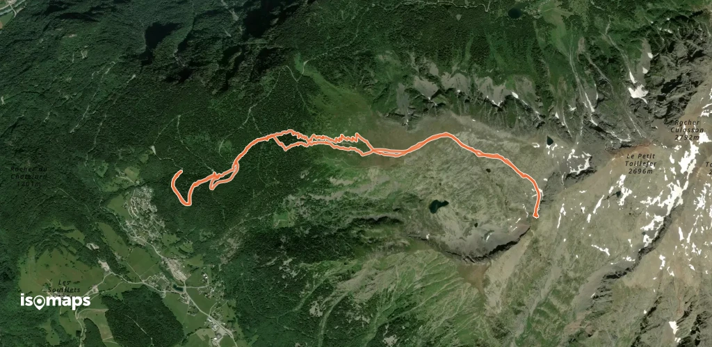
Villard-Saint-Christophe, France
17,55 km +1 561 m 4h 40min
Einfach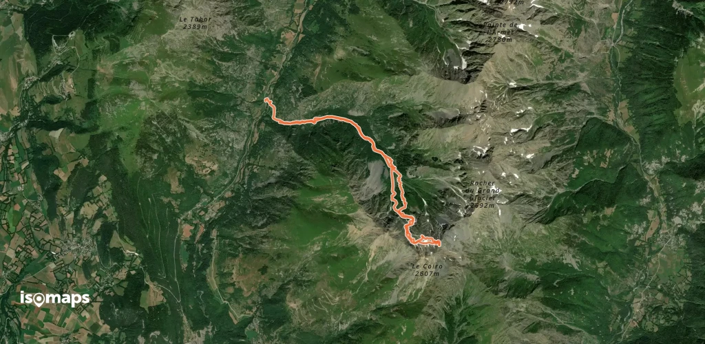
Testen Sie Isomaps 7 Tage kostenlos. Verfügbar für iOS und Android.
