Ubaye - Parpaillon - Alpes Cozie S

17 Touren in Ubaye - Parpaillon - Alpes Cozie S. Finden Sie Ihre nächste Route auf Isomaps — Topokarten, GPS und Höhenprofil.
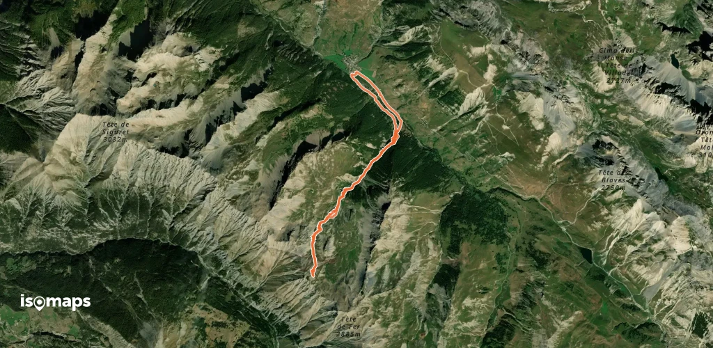
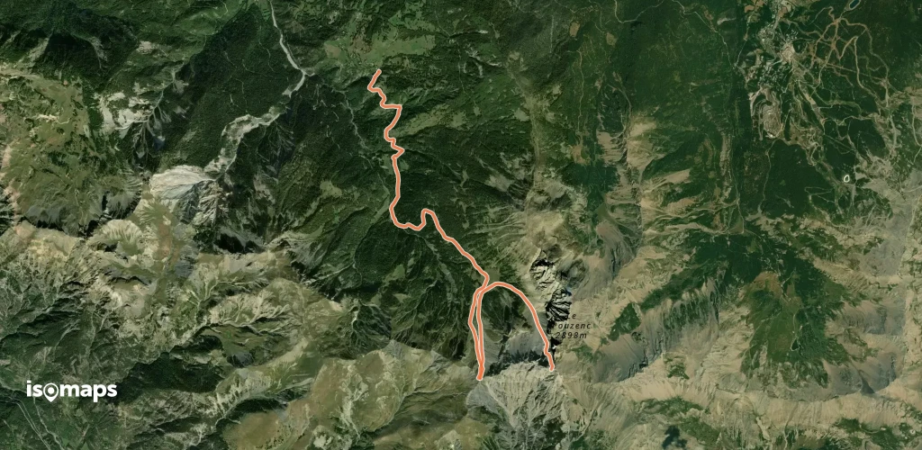
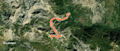
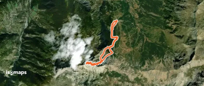
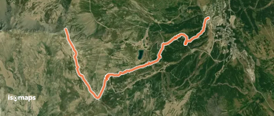
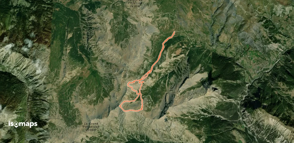
Tête de Fer, par le Vallon de Courrouit

Larche, France

11,94 km +1 032 m 3h 35min

Mittel
Pointe du Fond du Roure, le Balcon Mary

Maurin, France

5,18 km +765 m 1h 40min

Schwer
L'Auta, combe N
L'Auta, combe N

La Montagne, France

10,28 km +1 735 m 4h 40min

Mittel
Monte Soubeyran, Depuis le Val Maira

Saretto, France

11,17 km +1 239 m 3h 40min

Einfach
Col de Mirandol, versant Nord

Grande Serenne, France

9,98 km +1 078 m 3h 40min

Einfach
Le Chapeau de Gendarme, versant NE

Enchastrayes, France

9,59 km +1 044 m 3h 15min

Einfach
Pic de Chabrières, Face Est

Station de Vars, France

5,49 km +928 m 2h 30min

Sehr einfach
Grande Combe, en boucle, par le Vallon du Crachet

Col de Vars, France

12,81 km +1 526 m 4h 40min

Mittel

Bereit für Ihren nächsten Ausflug?

Testen Sie Iso Maps 7 Tage kostenlos. Verfügbar für iOS und Android.

Für iOS herunterladen Für Android herunterladen APK (ohne Google)
Isomaps Deine Outdoor-Touren, überall, auch offline
Installieren Installieren