Grand Paradis

66 Touren in Grand Paradis. Finden Sie Ihre nächste Route auf Isomaps — Topokarten, GPS und Höhenprofil.

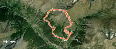
Mont Corquet - Versant N

, Italie

7,50 km +950 m 2h 30min

Einfach
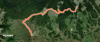
Col des Rayes Noires - Par le vallon du Lauson

Aosta, Italy

8,46 km +1 876 m 4h 35min

Mittel
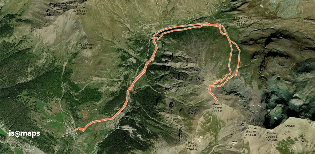
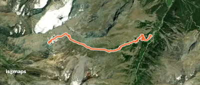
Mont Creya - De Champlong (Lillaz)

, Italie

8,73 km +1 413 m 3h 20min

Mittel
Pointe du Trayo - Par le Vallon du Trayo

, Italie

10,44 km +1 700 m 4h 0min

Mittel
Tour Ponton - Par le Vallon d'Urtier

, Italie

11,88 km +1 550 m 4h 35min

Einfach
Col de la Tête des Hommes - Par le Mont Ros

, Italie

7,50 km +950 m 2h 35min

Einfach
Cime Piana - Par le versant S

, Italie

5,12 km +760 m 2h 15min

Einfach
Mont Herban - Par le Versant NE

, Italie

8,13 km +1 518 m 3h 15min

Mittel
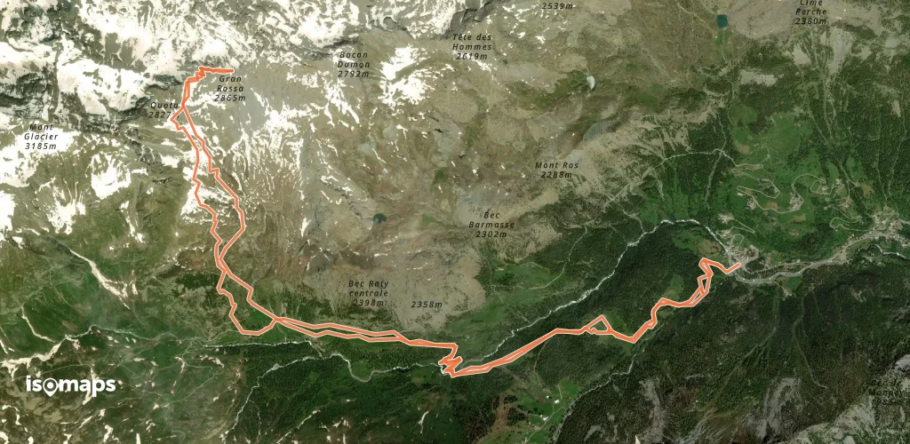
Grand Rossa -  Col ou sommet par Giasset - Dondena
Grand Rossa - Col ou sommet par Giasset - Dondena

, Italie

16,00 km +1 450 m 4h 25min

Einfach
Mont Creya - Par le vallon de Grauson

, Italie

13,60 km +1 250 m 3h 40min

Mittel
Col Tessonet - Par le vallon de Saint Marcel

, Italie

25,00 km +1 500 m 5h 55min

Mittel
Col de Leppe - par le Vallon des Laures

, Italie

17,00 km +2 060 m 7h 5min

Mittel
Bec de Montandayné - Par le col Bonney

, Italie

19,00 km +2 100 m 6h 5min

Schwer
Grand Paradis - Par le Glacier de Laveciau

Gran Paradiso, Italy

5,44 km +1 324 m 3h 25min

Mittel
Punta Arpisson, couloir W en boucle

Gimillan, Italy

12,55 km +1 437 m 4h 15min

Schwer
Route camptocamp 154388

Pila, Italie

11,27 km +938 m 3h 15min

Einfach

Bereit für Ihren nächsten Ausflug?

Testen Sie Isomaps 7 Tage kostenlos. Verfügbar für iOS und Android.

Für iOS herunterladen Für Android herunterladen APK (ohne Google)
Isomaps Deine Outdoor-Touren, überall, auch offline
Installieren Installieren