Queyras N - Briançonnais - Alpes Cottiennes

30 Touren in Queyras N - Briançonnais - Alpes Cottiennes. Finden Sie Ihre nächste Route auf Isomaps — Topokarten, GPS und Höhenprofil.

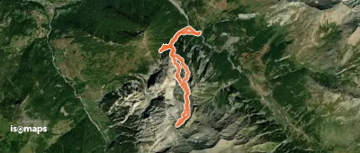
Monte Gran Roc - Versant NE

, Italie

12,29 km +1 477 m 4h 30min

Mittel
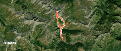
Monte Gran Roc - Versant N (Gran Vallon)

Roc del Boucher, Italy

9,74 km +1 571 m 4h 15min

Mittel
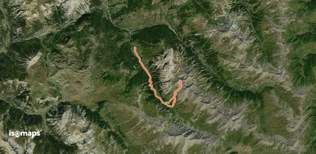
Bric Froid - Face S
Bric Froid - Face S

Punta Ramiere, Italy

14,49 km +1 727 m 5h 0min

Schwer
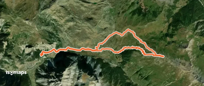
Cima Dormillouse - Versant NW

, Italie

9,22 km +1 350 m 3h 55min

Einfach
Costa Ciabert - Versante S - da Chianale

Chianale, Italie

5,31 km +842 m 2h 20min

Einfach
Cime de Saurel - Versant W depuis Bousson

, Italie

6,83 km +1 000 m 1h 20min

Einfach
Roc del Boucher - Versant S depuis Thures

, Italie

22,00 km +1 700 m 6h 35min

Mittel
Crête de Dormillouse - Versant NW/SW en boucle

Les Chalps, France

17,31 km +1 026 m 4h 35min

Mittel

Bereit für Ihren nächsten Ausflug?

Testen Sie Isomaps 7 Tage kostenlos. Verfügbar für iOS und Android.

Für iOS herunterladen Für Android herunterladen APK (ohne Google)
Isomaps Deine Outdoor-Touren, überall, auch offline
Installieren Installieren