Launch-Angebot: Abonnieren Sie vor dem 12. Juli und sichern Sie sich Ihren Preis auf Lebenszeit. Preise ansehen

Queyras S - Parpaillon - Ubaye - Orrenaye

31 Touren in Queyras S - Parpaillon - Ubaye - Orrenaye. Finden Sie Ihre nächste Route auf Isomaps — Topokarten, GPS und Höhenprofil.
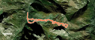
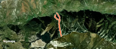
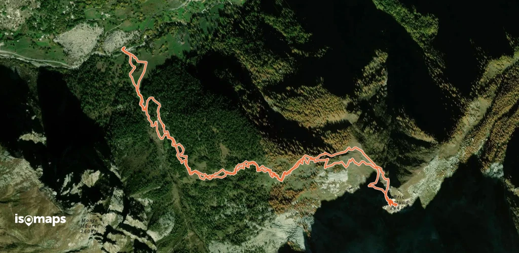
Mont Giobert - Versant W - De Preit

Grange Pieccia, Italie

7,21 km +925 m 2h 50min

Einfach
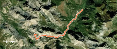
Costa Cialin - Par la Costa Chicoporetti (versant N)

Chiosso Medio e Superiore, Italy

5,18 km +922 m 2h 25min

Mittel
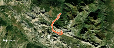
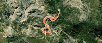
Tête de Vauclave - de Chialvetta

Monte Vanclava, Italy

15,00 km +1 329 m 3h 35min

Mittel
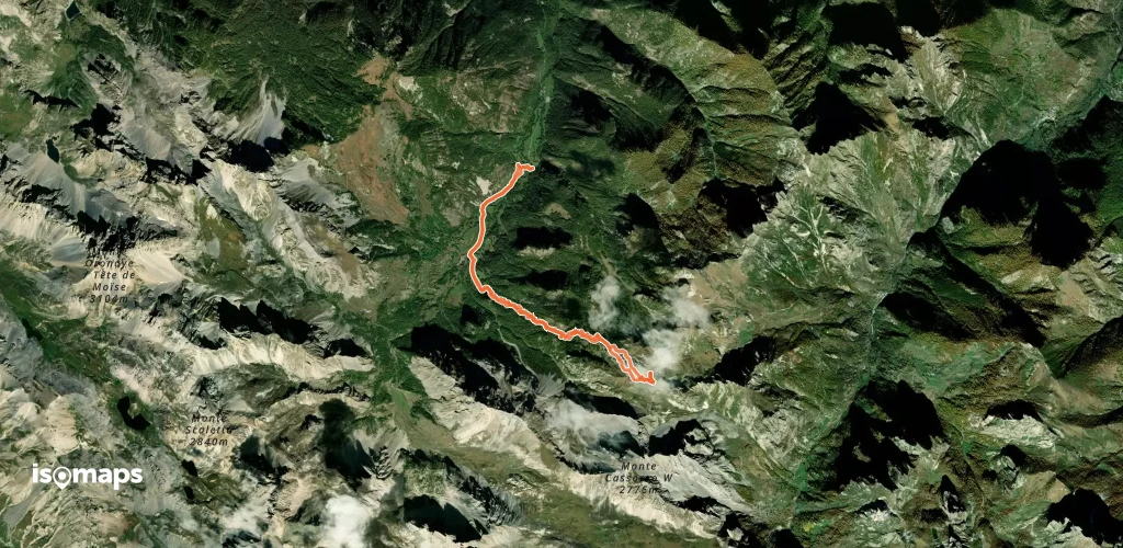
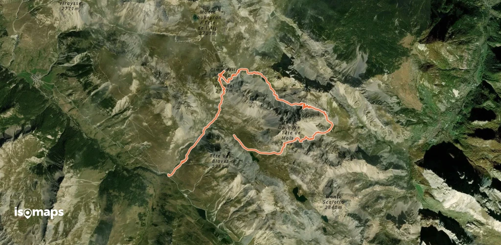
Tête de l'Alp/Monte Soubeyran - boucle S-N depuis Saretto

Colle delle Munie, France

10,32 km +1 203 m 3h 45min

Mittel
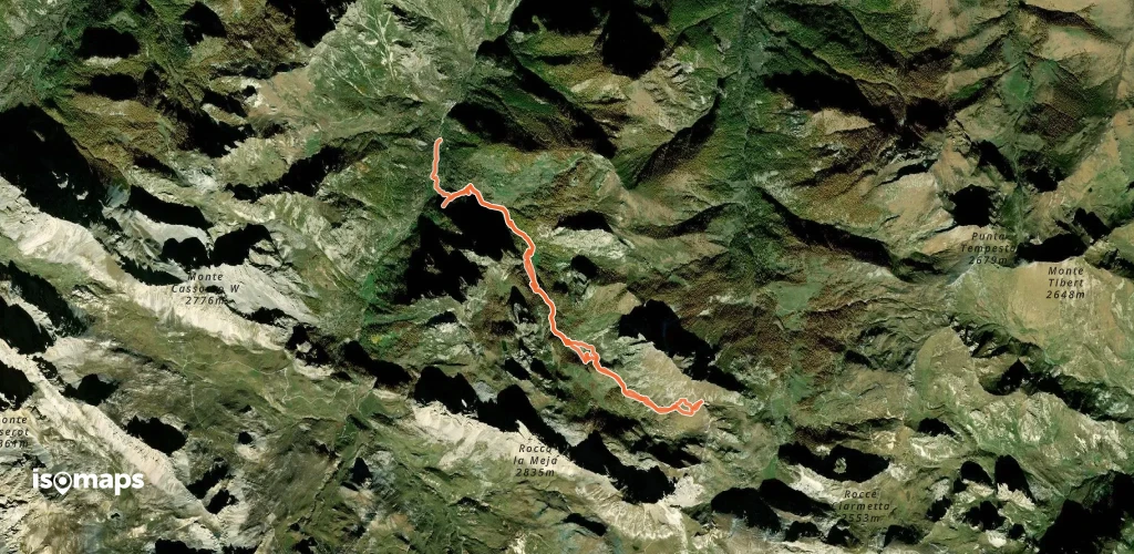
Route camptocamp 48440

Viviere, Italie

11,06 km +1 161 m 3h 40min

Mittel
Tête de l'Enchastraye - Traversée E → N

Barcelonnette, France

17,12 km +1 252 m 5h 5min

Mittel

Bereit für Ihren nächsten Ausflug?

Testen Sie Isomaps 7 Tage kostenlos. Verfügbar für iOS und Android.

Für iOS herunterladen Für Android herunterladen APK (ohne Google)
Isomaps Deine Outdoor-Touren, überall, auch offline
Installieren Installieren