Grand Paradis

48 Touren in Grand Paradis. Finden Sie Ihre nächste Route auf Isomaps — Topokarten, GPS und Höhenprofil.
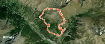
Col des Rayes Noires - Par le vallon du Lauson

Aosta, Italy

8,46 km +1 876 m 4h 35min

Mittel
Cogne - Valnontey - Il Fallo di Plutone

Aosta, Italy

5,48 km +453 m 1h 40min

Mittel
Cogne - Valnontey - Coupé Money

Aosta, Italy

5,48 km +453 m 1h 40min

Mittel
Cogne - Valeille - Cold Couloir

Lillaz, Italy

7,58 km +1 563 m 2h 10min

Mittel
Grand Paradis - Par le Glacier de Laveciau

Gran Paradiso, Italy

5,46 km +1 358 m 3h 25min

Mittel
Punta Arpisson, couloir W en boucle

Gimillan, Italy

12,55 km +1 437 m 4h 15min

Schwer

Bereit für Ihren nächsten Ausflug?

Testen Sie Iso Maps 7 Tage kostenlos. Verfügbar für iOS und Android.

Für iOS herunterladen Für Android herunterladen APK (ohne Google)
Isomaps Deine Outdoor-Touren, überall, auch offline
Installieren Installieren