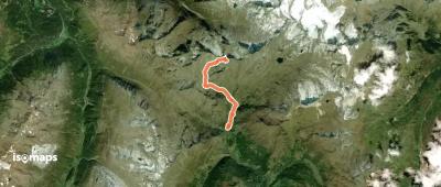
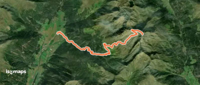
6 Touren in Sud Tyrol. Finden Sie Ihre nächste Route auf Isomaps — Topokarten, GPS und Höhenprofil.
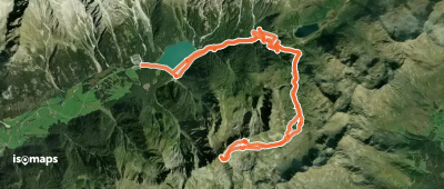
Zona Turistica Anterselva Alta, Italy
19,26 km +1 450 m 5h 5min
Sehr einfach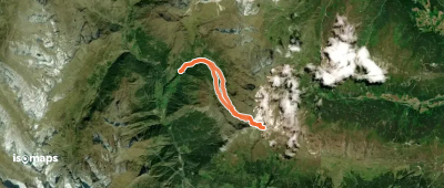
Testen Sie Isomaps 7 Tage kostenlos. Verfügbar für iOS und Android.
