1 Touren in Texel. Finden Sie Ihre nächste Route auf Isomaps — Topokarten, GPS und Höhenprofil.
Plan, Italy
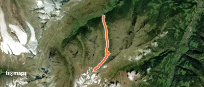
14,02 km +1 347 m 4h 20min
Testen Sie Isomaps 7 Tage kostenlos. Verfügbar für iOS und Android.