39 Touren in Alpes Tessinoises - Conches - Goms. Finden Sie Ihre nächste Route auf Isomaps — Topokarten, GPS und Höhenprofil.
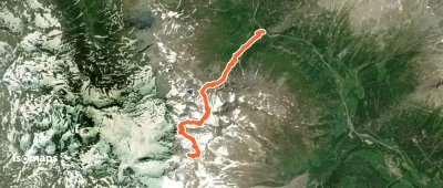
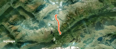
Brudelhorn, Switzerland
12,51 km +1 534 m 4h 40min
Einfach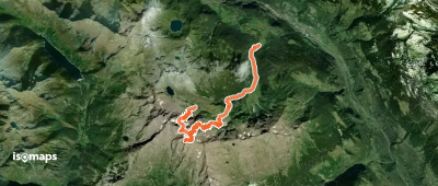
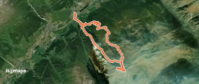
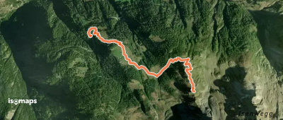
Ghiacciaio Grande di Croslina, Switzerland
16,66 km +1 443 m 4h 0min
Mittel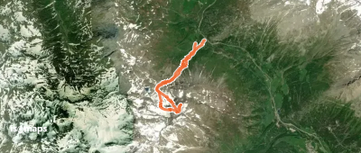
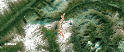
Pizzo Rotondo, Suisse
11,18 km +1 997 m 4h 35min
Mittel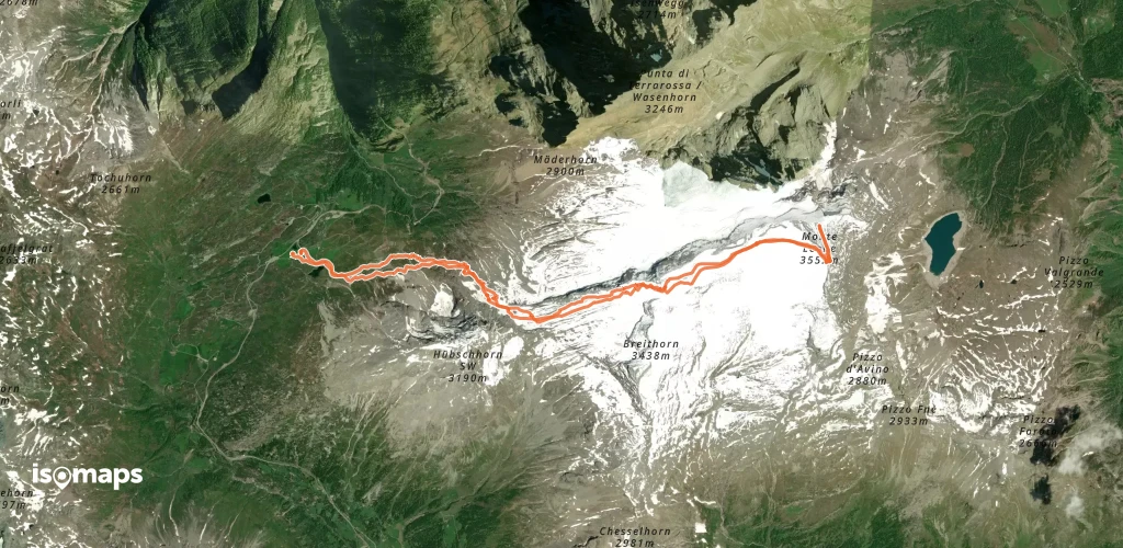
Breithornpass, Switzerland
13,76 km +1 591 m 4h 45min
Einfach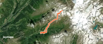
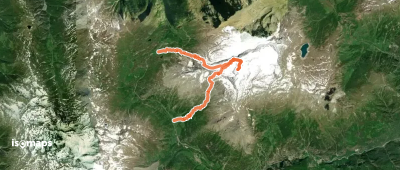
Marchhorn, Switzerland
13,07 km +1 944 m 5h 35min
Einfach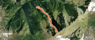
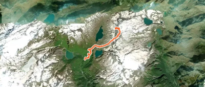
Homattugletscher, Suisse
12,97 km +1 677 m 4h 45min
EinfachTesten Sie Isomaps 7 Tage kostenlos. Verfügbar für iOS und Android.
