17 Touren in Grisons centraux. Finden Sie Ihre nächste Route auf Isomaps — Topokarten, GPS und Höhenprofil.
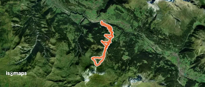
Mittaghorn, Suisse
7,04 km +37 m 50min
Girenspitz, Switzerland
18,23 km +1 665 m 5h 20min
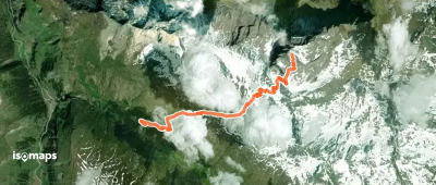
Bandflue, Suisse
6,98 km +1 519 m 3h 50min
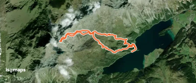
Muotta Radonda, Suisse
13,00 km +1 221 m 4h 20min
Testen Sie Isomaps 7 Tage kostenlos. Verfügbar für iOS und Android.