36 Touren in Préalpes Fribourgeoises - Bernoises. Finden Sie Ihre nächste Route auf Isomaps — Topokarten, GPS und Höhenprofil.
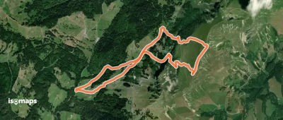
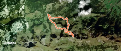
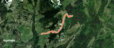
Les Millets, Suisse
16,42 km +1 723 m 5h 30min
Einfach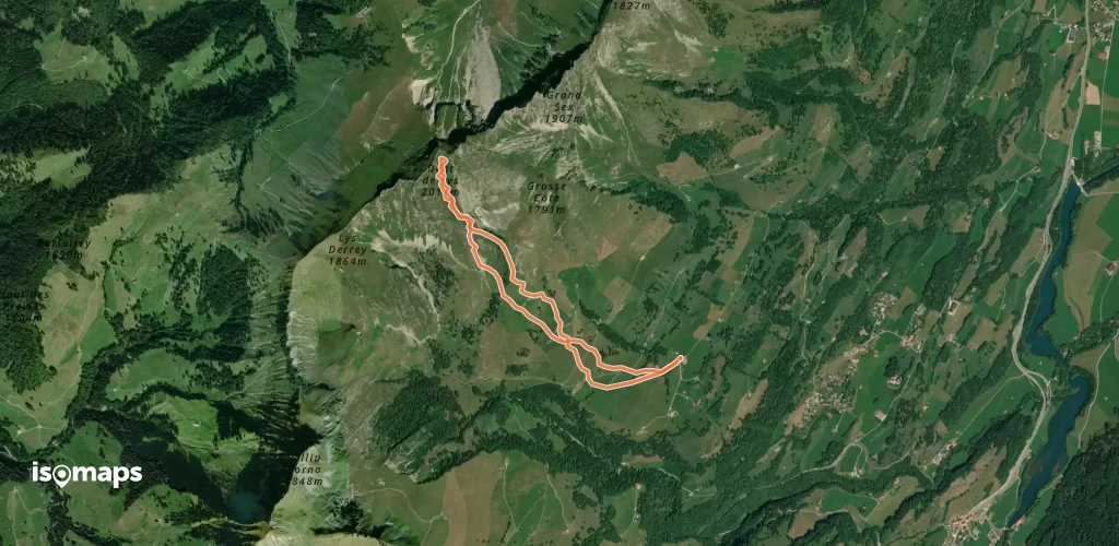
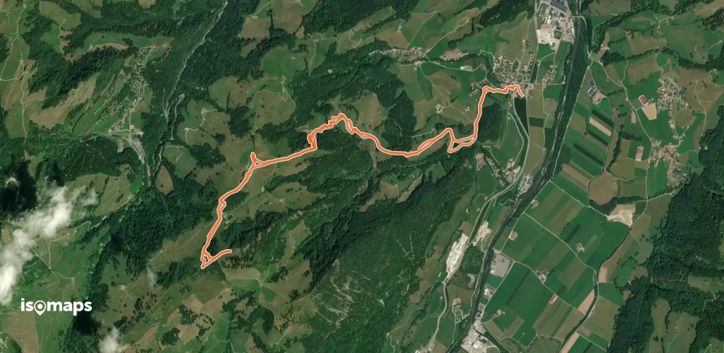
Gustispitz, Switzerland
7,92 km +751 m 2h 0min
Sehr einfach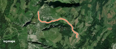
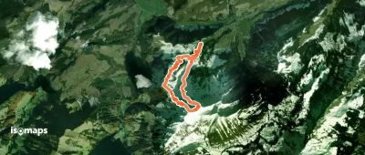
Grosse Orgevalette, Switzerland
2,76 km +917 m 2h 5min
Sehr einfach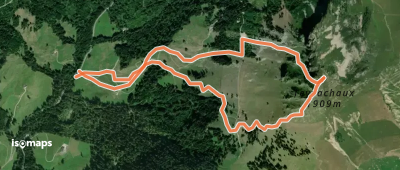
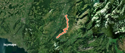
Villard-sur-Chamby, Switzerland
2,81 km +726 m 1h 55min
Sehr einfach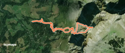
Testen Sie Isomaps 7 Tage kostenlos. Verfügbar für iOS und Android.
