124 trails in Écrins. Find your next route on Isomaps — topo maps, GPS and elevation profile.
Mont Pelvoux, France
1,34 km +521 m 15min
Moderate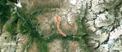
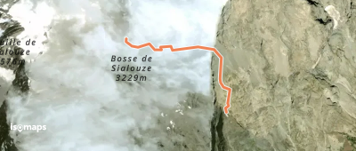
Aiguille Plat de la Selle, France
8,50 km +787 m 2h 0min
ModerateTry Isomaps free for 7 days. Available on iOS and Android.
