17 trails in Haut Giffre - Aiguilles Rouges - Fiz. Find your next route on Isomaps — topo maps, GPS and elevation profile.
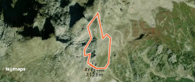
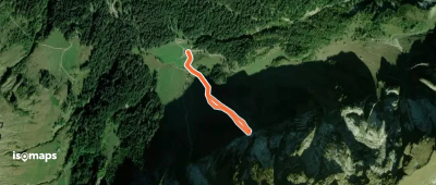
Col de Bretolet, France
1,35 km +211 m 30min
Moderate

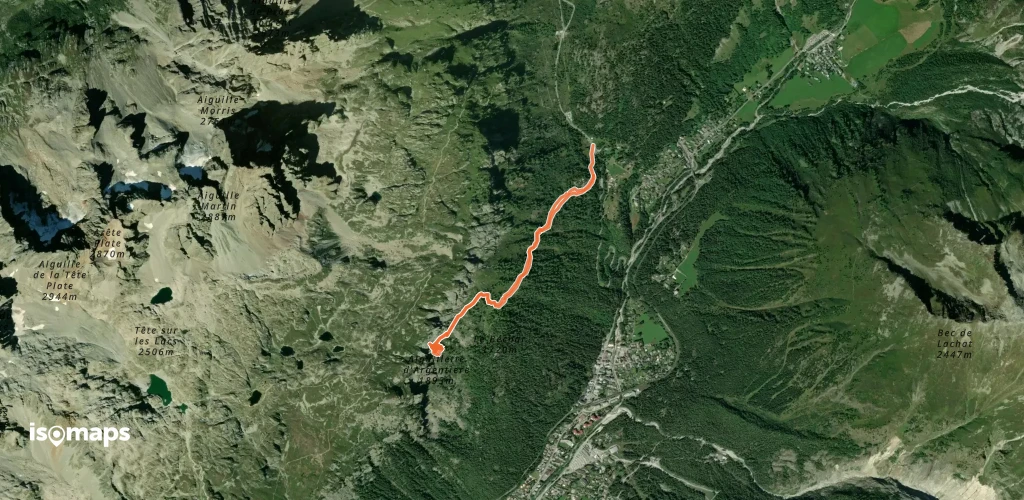
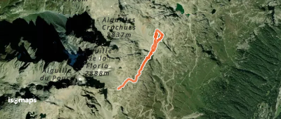
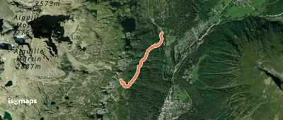
Aiguille de l'Encrena, France
4,92 km +735 m 1h 40min
ModerateTry Isomaps free for 7 days. Available on iOS and Android.
