10 trails in Haut Giffre - Aiguilles Rouges - Fiz. Find your next route on Isomaps — topo maps, GPS and elevation profile.
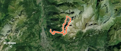
Tête du Colonney, France
19,74 km +2 910 m 6h 35min
Moderate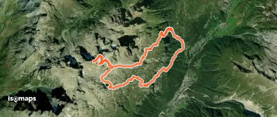
Aiguille des Chamois, France
15,00 km +1 828 m 5h 5min
Moderate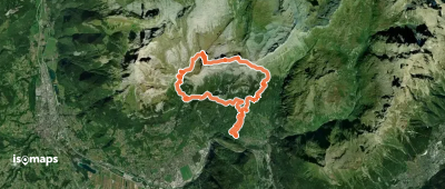
Pointe de Platé, France
21,00 km +2 236 m 6h 25min
Moderate
Try Isomaps free for 7 days. Available on iOS and Android.
