Launch offer: subscribe before July 12 and lock in your price for life. See pricing

Haute Ariège - Andorre

7 trails in Haute Ariège - Andorre. Find your next route on Isomaps — topo maps, GPS and elevation profile.

Pic de l'Étang Fourcat - Traversée N-S depuis Soulcem

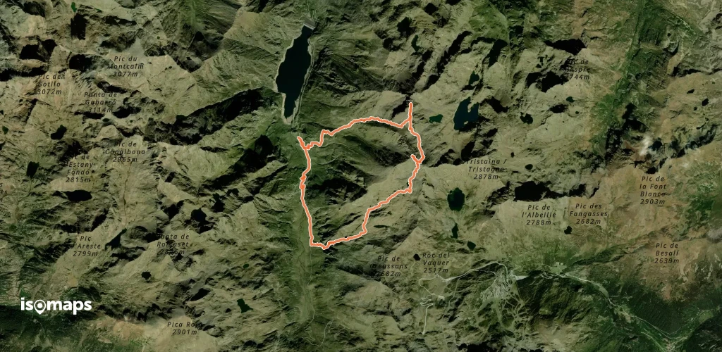
Pic de l'Étang Fourcat, France

12,06 km +1 662 m 4h 20min

Moderate
Pic de les Valletes - Éperon Nord Est

Pic de Font Freda, France

5,14 km +62 m 45min

Moderate
Pique d'Endron - Crête du Sarrasi

Pic de Garbié, France

3,90 km +993 m 2h 35min

Moderate

Ready for your next adventure?

Try Isomaps free for 7 days. Available on iOS and Android.

Download on iOS Download on Android APK (Google-free)
Isomaps Your outdoor outings, anywhere, even offline
Install Install