53 trails in Valais E - Alpes Pennines E. Find your next route on Isomaps — topo maps, GPS and elevation profile.
Stalblatte, Suisse
1,33 km +270 m 20min
Moderate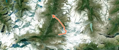
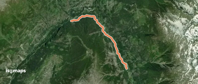
Staldenried, Switzerland
4,95 km +210 m 1h 15min
Moderate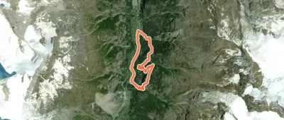

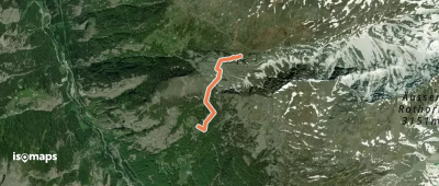
Unters Horn, Switzerland
7,73 km +1 360 m 3h 40min
Moderate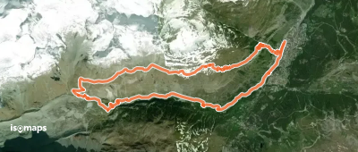
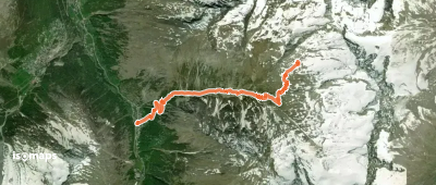
Stafel, Suisse
18,30 km +1 471 m 4h 55min
Moderate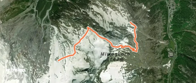

Brand, Suisse
5,24 km +315 m 1h 20min
ModerateTry Isomaps free for 7 days. Available on iOS and Android.
