200 trails · 200 total activities recorded

The Alpes-Maritimes offer a striking contrast across 4,299 km²: the Mediterranean is only 2,000 m straight-line from snowy summits. The département hosts the Mercantour National Park, one of the wildest in France. Mont Gélas (3,143 m) is the highest point. The Mounier, Bégo (and the Vallée des Merveilles, UNESCO-listed for its prehistoric rock engravings) and the Argentera complete an exceptional playground. The GR 5 ends at Nice, the GR 52 crosses the Mercantour, the GR 52A passes through the Vallée des Merveilles.
Nice is served by TGV (5h30 from Paris) and its international airport. The Mercantour valleys (Vésubie, Tinée, Roya) are accessible by car or bus from Nice (1h30 to 2h).
Best season: April to June and September to November for the coastal Prealps, June to mid-October for the Mercantour. Summer at altitude is dry and bright. Afternoon thunderstorms possible in July-August in the Mercantour. At low altitude, summer is too hot — aim for spring or autumn.
The 91 routes we offer will grow over time. They cover the Mercantour, the inland valleys, and the coastal Prealps.
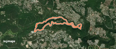
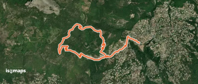

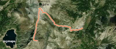
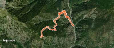
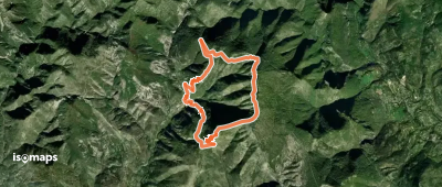
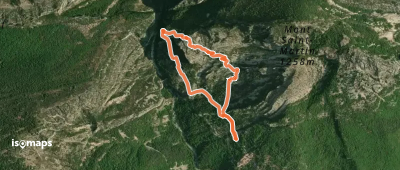
Esteng, France
4,62 km +1 011 m 2h 45min
Easy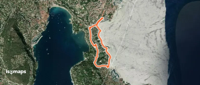
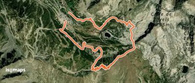
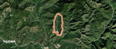
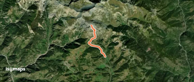
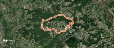
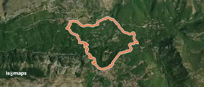
Beuil, France
5,56 km +1 017 m 2h 50min
Easy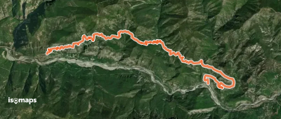
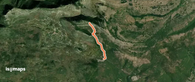
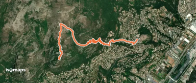
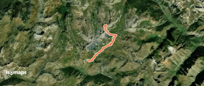
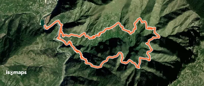
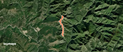
Touët-sur-Var, France
13,99 km +1 202 m 8h 30min
Very hardTry Isomaps free for 7 days. Available on iOS and Android.
