445 trails · 445 total activities recorded

Haute-Savoie packs into 4,388 km² some of the most concentrated high-altitude terrain in the Alps: the Mont Blanc massif and its 4,805-metre summit, alongside the Aravis, Chablais, Bauges and Aiguilles Rouges ranges. The département is crossed by the GR 5 and the Tour du Mont-Blanc, making it as much a playground for long-distance hikers as for day-trippers.
Access is among the easiest of any French Alpine destination: Geneva is 40 minutes from the Mont-Blanc valley, Annecy is two hours from Lyon, and cable cars run until late October to gain altitude quickly.
Our recommendation: from mid-September, and especially in October. The herds have come down from the alpine pastures, traffic on the classic routes drops sharply, and high-altitude trails are generally still snow-free. Be aware: early snowfall above 2,000 m is common from late August onwards. Always check the forecast and current conditions before setting out, especially in high terrain. October, in particular, offers Haute-Savoie at its best: unbeatable autumn colours, low golden light, near-deserted trails even on Lac Blanc or Pointe Percée. To us, it is simply the finest month to hike here.
The nearly 800 routes we offer cover all four ranges in the département, from family walks around Lake Annecy to demanding high-mountain traverses.
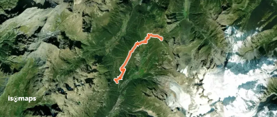
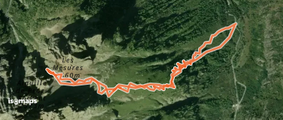
Tête de Balme, France
7,92 km +292 m 3h 55min
Moderate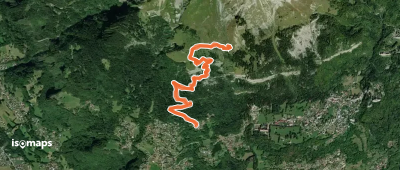
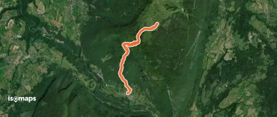
Pointe de la Croix, France
5,96 km +729 m 2h 15min
Moderate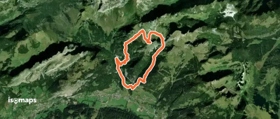
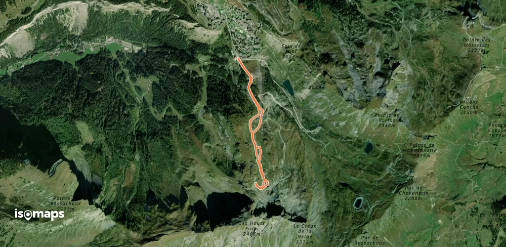
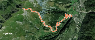
La Chapelle-d'Abondance, France
15,88 km +1 540 m 5h 15min
Very easy

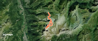
Aiguille de Praz Torent, France
5,57 km +1 108 m 1h 25min
Moderate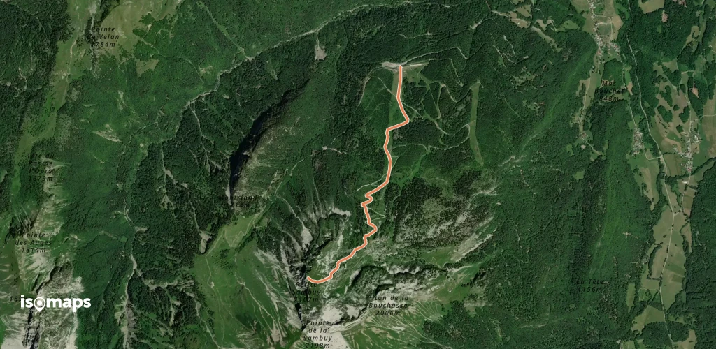
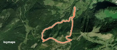
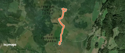
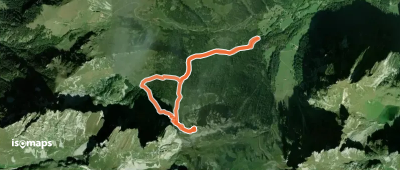
Station de Seythenex-La Sambuy, France
2,89 km +925 m 2h 25min
Very easy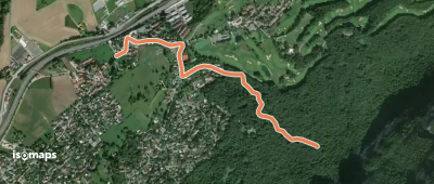
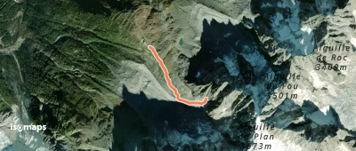
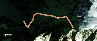
Aiguille du Plan, France
1,39 km +377 m 50min
Moderate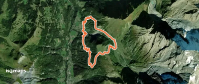
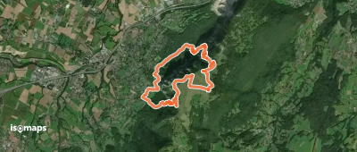
Collonges-sous-Salève, France
10,63 km +1 093 m 5h 55min
Very hard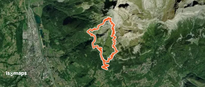
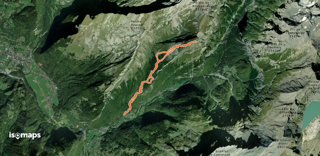
Aiguille de Varan, France
11,66 km +1 696 m 4h 15min
Very hard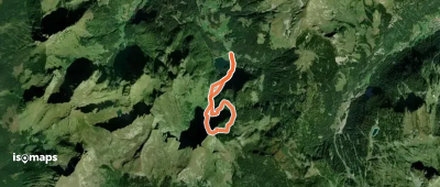
Pointe de Chavache, France
5,70 km +569 m 1h 50min
Easy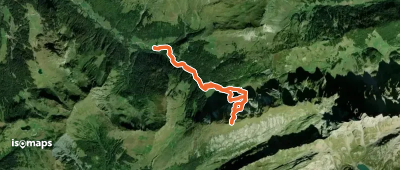
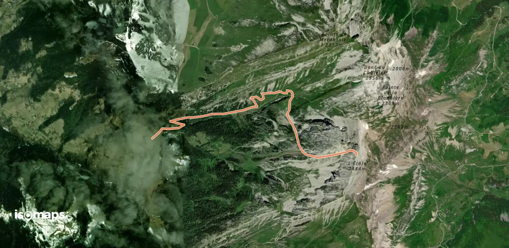
Flaine, France
21,53 km +2 388 m 6h 55min
ModerateTry Isomaps free for 7 days. Available on iOS and Android.
