Hiking in the Hautes-Alpes

1,799 trails · 1799 total activities recorded

Map of Hautes-Alpes

The Hautes-Alpes pack into 5,549 km² some of the finest French Alpine massifs: the Écrins (south side), the Queyras with its villages perched above 2,000 m, the Devoluy with its unique karst landscape, and the Cerces near Briançon. The Barre des Écrins (4,102 m) culminates in Isère but the massif extends widely. Major trails: GR 54 (Tour de l'Oisans-Écrins), GR 58 (Tour du Queyras), GR 653D.

Access is via Gap or Briançon, mainly by TER from Marseille or Grenoble. Briançon, the highest fortified town in Europe (UNESCO), is the ideal base for the Queyras and the southern Écrins.

Best season: mid-June to late October. The dry, sunny climate of the Hautes-Alpes (300 sunny days a year in the Queyras) extends the hiking season compared to the rest of the Alps. Be aware of afternoon thunderstorms in midsummer and possible snowfalls from mid-September at altitude. Always check the forecast in high terrain.

The 647 routes we offer cover the entire region, from family walks in the Devoluy to committing traverses of the Tour des Écrins.
Top trails

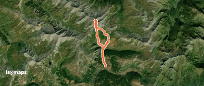
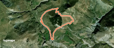
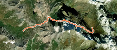
Bric Froid - Face S
Bric Froid - Face S

Punta Ramiere, Italy

14,49 km +1 727 m 5h 0min

Hard
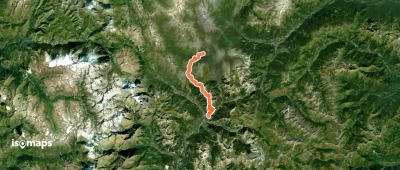
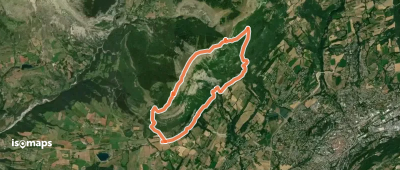
GR 5c
GR 5c

Roubion, France

25,14 km +1 678 m 11h 30min

Very hard
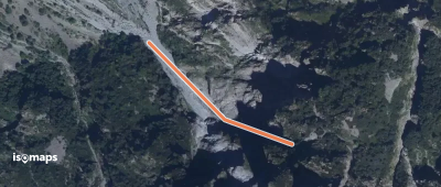
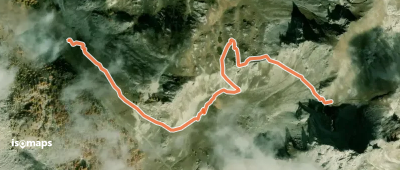
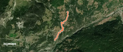
Vallée du Drac Blanc ou Champoléon - La goulotte

Montagne de Cedera, France

276 m +330 m 5min

Moderate
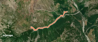
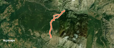
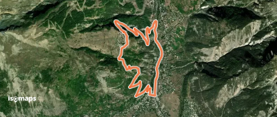
Les Bachasses - Pied la Casse

Château-Ville-Vieille, France

1,89 km +305 m 1h 15min

Easy
Le refuge du Tourond

Champoléon, France

2,87 km +99 m 1h 45min

Very easy
Croix des Enfers - Versant N

Le Méale, France

7,80 km +1 075 m 3h 0min

Easy
Crête du Raisin - Arêtes N du Raisin

Chalets de Fontcouverte, France

1,07 km +363 m 15min

Moderate
Tour de la Dent de Ratier

Granges de Furfande, France

69,04 km +5 011 m 34h 50min

Very hard
Le Trente Pas
Le Trente Pas

Espinasses, France

14,90 km +916 m 6h 55min

Very hard
Cabane des Douaniers - Le Chenaillet

Mont Chenaillet, France

2,05 km +379 m 1h 5min

Easy
Clot Charmentier - Clot Clavary

Les Glaisoles, France

3,14 km +298 m 1h 15min

Easy
Champ des Chèvres - Le Villard

Abriès, France

1,11 km +206 m 40min

Very easy
Ancienne Cabane des Douanes - Col Sud du Cristillan

Col de Cristillan, France

1,77 km +375 m 1h 5min

Easy
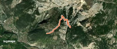
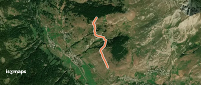
Bois de Parapin - ?
Bois de Parapin - ?

Les Vigneaux, France

2,53 km +321 m 1h 25min

Easy
Chemin de Creyssant - Serre Nebrens

Molines-en-Queyras, France

1,71 km +159 m 45min

Very easy
La Boucle de l'Aiguillon

Villar-d'Arêne, France

8,20 km +628 m 3h 30min

Moderate
Ailefroide Orientale - Arête S (voie normale)

Sommet de l'Ailefroide, France

4,29 km +1 605 m 3h 5min

Moderate
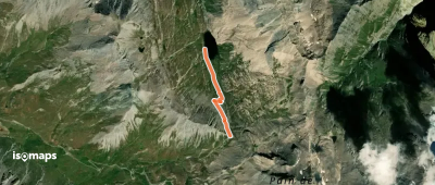
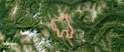
Lac Foréant - Col Vieux

Pic de Foréant, France

1,34 km +193 m 40min

Very easy
OSM Route 16101643
OSM Route 16101643

Col de la Ponsonnière, France

85,46 km +5 993 m 36h 30min

Very hard
Les Plagnes par les Clots

Rivet du Milieu, France

5,59 km +418 m 2h 35min

Moderate
Le Tour du Cuchon
Le Tour du Cuchon

Le Burety, France

10,08 km +981 m 5h 5min

Hard
Col St Antoine - Lac du Lauzet

Briançon, France

1,51 km +277 m 50min

Easy
Boucle vers Puy Aillaud

Vallouise, France

6,63 km +504 m 3h 25min

Moderate

Ready for your next adventure?

Try Isomaps free for 7 days. Available on iOS and Android.

Download on iOS Download on Android APK (Google-free)
Isomaps Your outdoor outings, anywhere, even offline
Install Install