Hiking in the Hautes-Pyrénées

299 trails · 299 total activities recorded

Map of Hautes-Pyrénées

The Hautes-Pyrénées condense in 4,464 km² the heart of the central Pyrenees and the highest French peaks of the range. The Vignemale (3,298 m) is the highest French Pyrenean summit, with the Néouvielle, the Monte Perdido (3,348 m, on the Spanish border), and the Pic du Midi de Bigorre (2,877 m) and its iconic observatory. The Gavarnie cirque, a UNESCO World Heritage site, is one of the most visited spots in the Pyrenees. The département is crossed by the GR 10, GR 652, and the HRP.

Tarbes and Lourdes are served by TGV. Valley access (Cauterets, Luz-Saint-Sauveur, Barèges) is by car or SNCF bus from Lourdes.

Best season: mid-June to mid-October. High summits clear of snow only from mid-June depending on the year. Watch for afternoon thunderstorms in July-August, frequent and violent at altitude — start early and descend before 2 p.m. September usually offers the best window: cleared trails, lower crowds, exceptional light.

The 656 routes we offer cover the great classics (Pic du Midi, Gavarnie, Cirque d'Estaubé) as well as the more confidential valleys of the Neste or the Louron.
Top trails

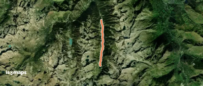
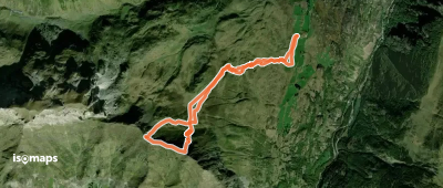
Cabane de Conques
Cabane de Conques

Pas de la Crabe, France

2,98 km +17 m 1h 25min

Very easy
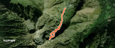
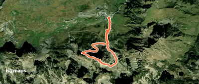
Crête d'Agalops  - Couloir S
Crête d'Agalops - Couloir S

Soum du Cot de l'Espade, France

14,00 km +837 m 2h 40min

Hard
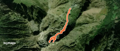
Gassère d'Aoube - Couloir E central - Waouhkon

La Bonida, France

8,50 km +911 m 2h 25min

Hard
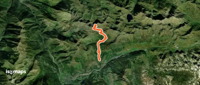
Lac de la Lahude - Depuis le virage d'Aoube

La Bonida, France

6,95 km +577 m 2h 15min

Very easy
Col de Bastanet et Pic de Bastan

Pic de Bastan d'Aulon, France

8,13 km +754 m 9h 45min

Moderate
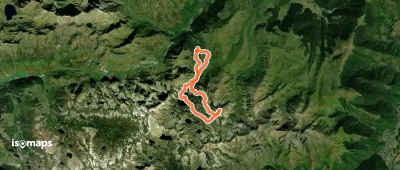
Grande boucle dans la région du Néouvielle

Glaciers de Néouvielle, France

17,08 km +1 721 m 15h 45min

Very hard
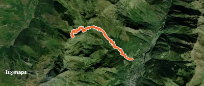
Pic de Montarrouye - Face W

Pic de Barassé, France

13,44 km +1 327 m 4h 35min

Hard
Soum de Picarré - Depuis Catarrabes

Soum de Picarré, France

13,33 km +1 692 m 4h 55min

Moderate
Les Gleyzettes (glèysietas) - Depuis Ozous

Ouzous, France

2,46 km +166 m 45min

Moderate
Pic Méchant -  Couloir NW et Arête S
Pic Méchant - Couloir NW et Arête S

Pic des Toudes, France

4,27 km +915 m 2h 0min

Hard
Refuge et Lac d'Estom

Soum des Agudes, France

5,52 km +468 m 1h 50min

Easy
Le Chemin du Bédouret

Peyrouse, France

4,11 km +198 m 1h 10min

Very easy
Pic de Beauté - Voie normale par la Coume de Pourteilh

Crête de Guilhembrume, France

4,59 km +521 m 1h 40min

Moderate
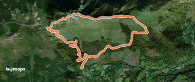
Soum de Conques - Depuis le Bergons

Soum de las Escures, France

9,75 km +893 m 3h 25min

Easy
Grande Brèche de Taillade - Couloir S - Canaou det Tailhada

Pène Taillade, France

9,52 km +1 142 m 3h 30min

Hard
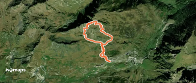
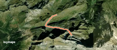
Le Taoulet - Versant S

La Mongie, France

4,31 km +528 m 1h 45min

Easy
Refuge de la Brèche de Roland

Puerto de Bujaruelo, France

4,81 km +505 m 2h 20min

Moderate
Boucle Juncalas-Ourdis

Juncalas, France

5,81 km +310 m 2h 0min

Easy
Soum des Canaus - Le Canal des Canaus

Gavarnie, France

8,50 km +673 m 2h 5min

Very hard
Pic d'Aulian Oriental - Couloir NE plus de gauche

La Capéréte, France

4,88 km +610 m 2h 5min

Hard
Pic d'Aulian Oriental - Couloir NE de gauche

La Capéréte, France

5,40 km +938 m 2h 35min

Hard
Mail de la Sède Occidental - Depuis Sers

Soum Arrouy, France

15,00 km +1 460 m 4h 35min

Moderate
Pène Guilhemteste - Couloir NW de Gauche

Crête de Guilhembrume, France

4,80 km +652 m 1h 50min

Hard

Ready for your next adventure?

Try Isomaps free for 7 days. Available on iOS and Android.

Download on iOS Download on Android APK (Google-free)
Isomaps Your outdoor outings, anywhere, even offline
Install Install